A Tornado Watch is in effect for parts of the #FLPanhandle until midnight EDT (11PM CDT). Outer bands from Tropical Storm #Marco have the potential to produce brief but powerful tornadoes. #flwx
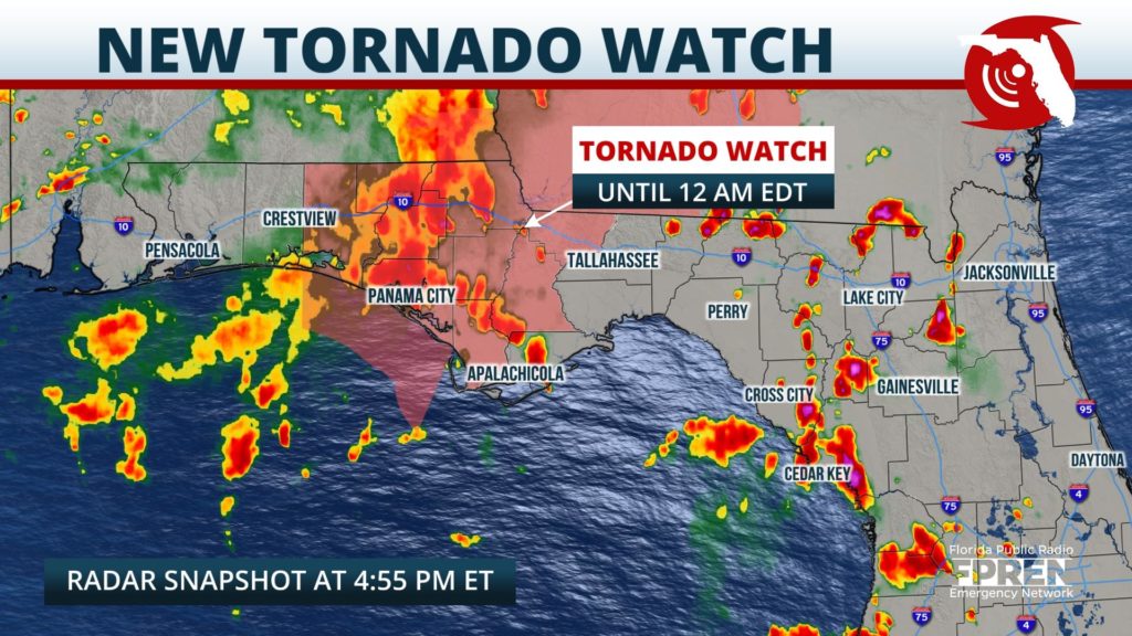
📍WUWF WKGC WFSU | 🕒Now on Twitter | ❌Expires passively`
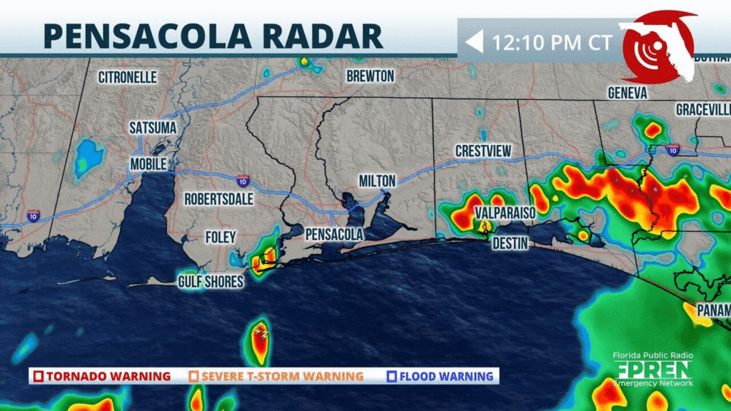
Another rainy day is expected across the #FLPanhandle. Strong t-storms are currently approaching parts of #Pensacola from the Gulf. Scattered to widespread showers expected through the afternoon.#flwx
📍WUWF | 🕒Now on Twitter | ❌Expires passively`
Heads up #PanamaCity, a strong t-storm is approaching your area from the west. Strong wind gusts, frequent lightning, and heavy rain are likely from this cell. #FLwx
📍WUWF WKGC WFSU | 🕒Now on Twitter | ❌Expires passively`
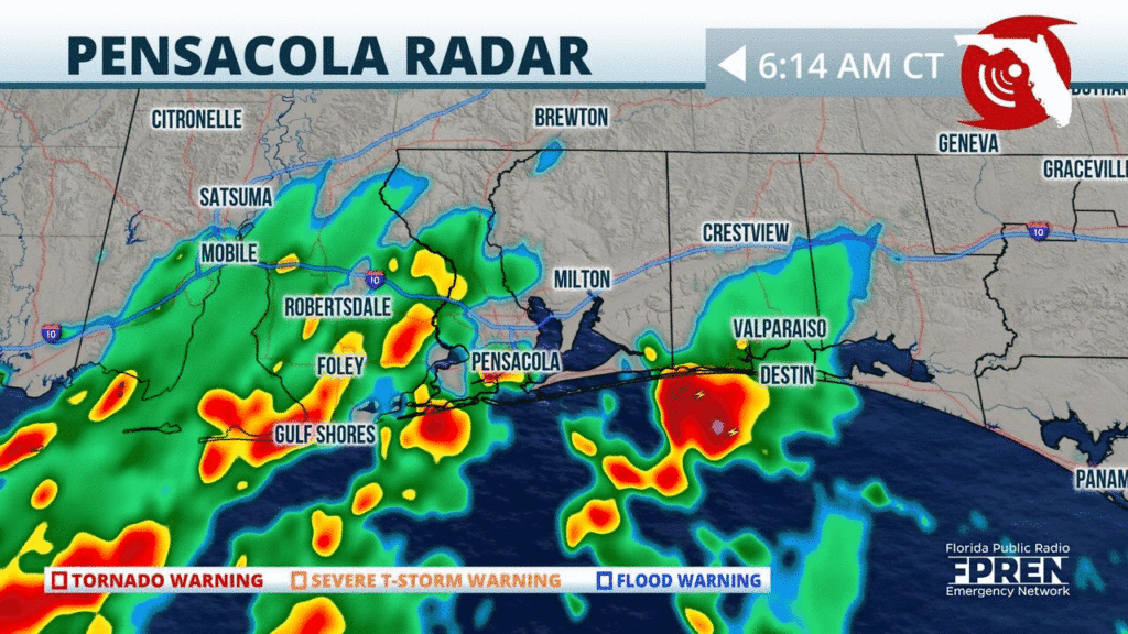
Strong t-storms containing heavy rainfall and strong winds are approaching #Pensacola. Head indoors and let this line pass. Localized flash flooding possible in this area. #flwx #FLPanhandle
📍WUWF | 🕒Now on Twitter | ❌Expires passively`
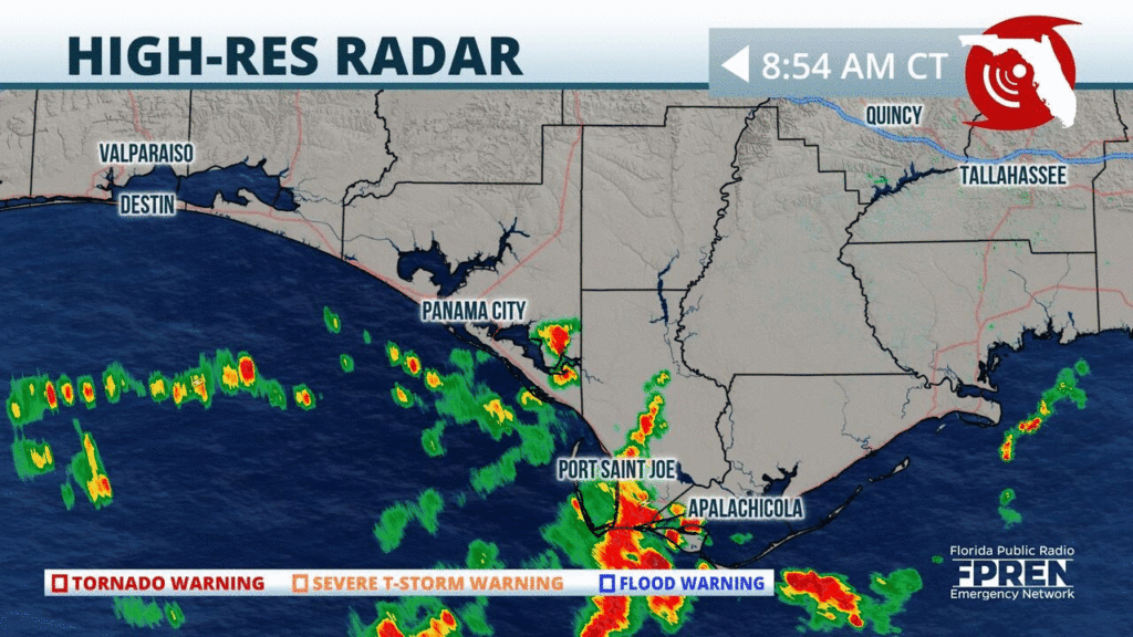
Downpours are already developing along #Panhandle beaches this morning. Scattered to numerous thunderstorms should continue today, as mid level energy enters this region from the north. #FLwx
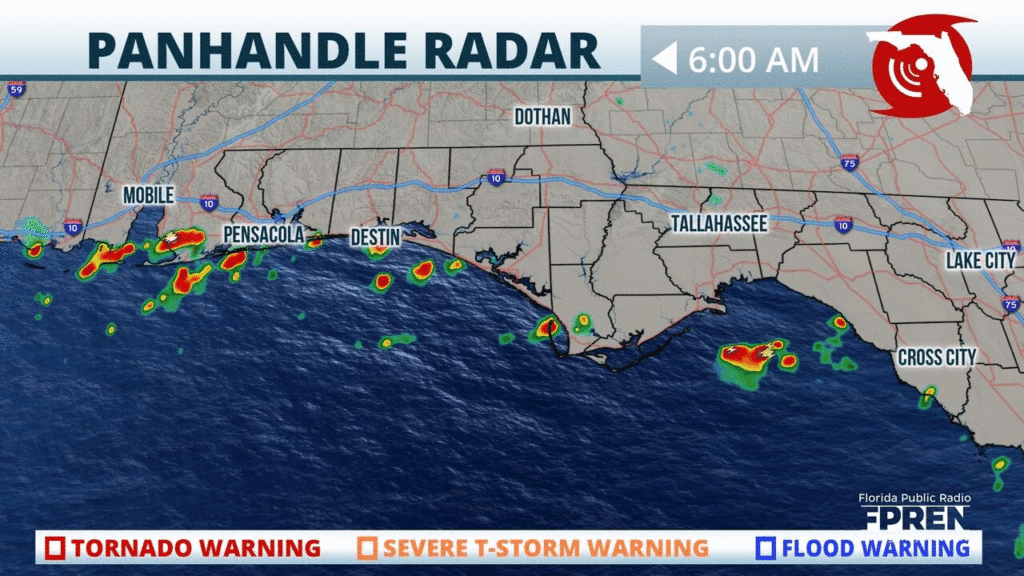
📍WUWF WKGC WFSU | 🕒Now on Twitter | ❌Expires passively`
Showers and thunderstorms are approaching from the west and heading towards #Pensacola. Brief heavy rainfall expected around the area. Time to head indoors and let these storms pass. #flwx

📍WUWF | 🕒Now on Twitter | ❌Expires passively`
Rain is already falling over portions of the #Panhandle, #BigBend, & #NatureCoast. Rounds of downpours are likely in these areas today, and localized flooding will be a possible. #FLwx
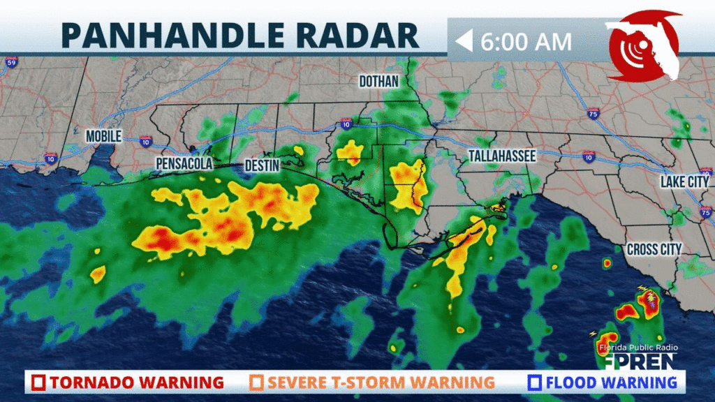
📍State of Florida | 🕒Now on Twitter | ❌Expires 07/29/2020 8:00 AM`
Numerous downpours and thunderstorms will be likely from the mid afternoon onward. Heavy rainfall will be possible as TD 8 supplies plenty of tropical moisture to the area.
📍WUWF WKGC WFSU | 🕒Now on Twitter | ❌Expires passively`


