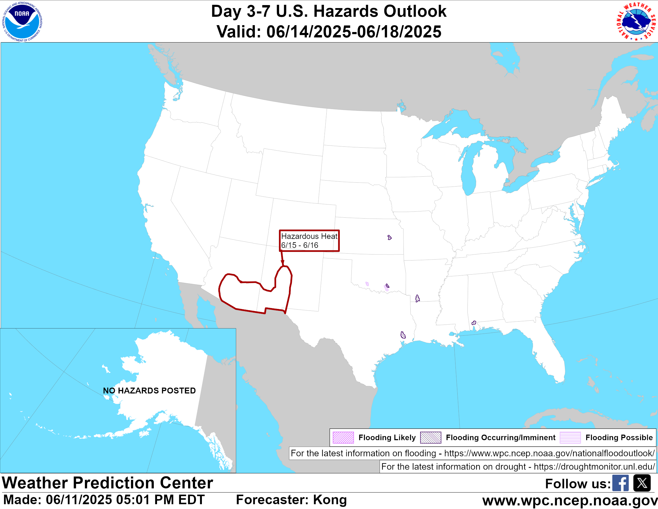
Severe weather takes many forms across the United States, and Florida sees many of these — including devastating hurricanes and tropical storms, thunderstorms with dangerous lightning, hail and high winds, tornadoes, flooding, and more. At the core of FPREN’s service to the state of Florida is a focus on making sure that public broadcasting’s listeners and viewers have access to the latest severe weather information regardless of what media platform they use to connect to their public media organization. FPREN’s “Florida Storms” mobile app, a free download available to all, is a key tool that allows listeners to stay up to date with the latest storm information — including evacuation and shelter information, forecast storm tracks, and the latest official social media releases and information as provided by the National Oceanic and Atmospheric Administration, National Weather Service, National Hurricane Center, and other official government agencies.