TUESDAY MORNING UPDATE: There is now a “high” chance of subtropical development near or north of the Bahamas this weekend, according to the 8 am outlook from the National Hurricane Center. Forecasters place the probability that a depression or storm will form at 70 percent, which is an increase from 50 percent on Tuesday.
Regardless of development, the system is not expected to be a significant threat to the United States. However, rain showers and gusty winds are becoming more likely across portions of South Florida Friday and Saturday as moisture from the developing system grazes by. There will also likely be a high risk of rip currents and choppy seas along all of Florida’s Atlantic Coast this weekend, thanks to a strengthening onshore flow on the backside of the potential storm.
A disturbance near The Bahamas might develop into a subtropical storm this weekend, but it poses no significant threat to the state of Florida.
On Tuesday morning, the National Hurricane Center (NHC) issued its first outlook of the season, which was focused on an area of low pressure that could develop this weekend a couple hundred miles northeast of the Bahamas.
Atmospheric conditions appear to be favorable over the next several days for this system to acquire subtropical characteristics as it moves northeastward through Sunday, according to NHC Hurricane Specialist Andrew Latto.
Meteorologists at the NHC are giving the disturbance a medium, about 50% chance, of subtropical development over the next 5 days.
A subtropical storm is one that acquires tropical characteristics, but it not completely tropical in nature. It tends to produce most of the unsettled weather on one-side, usually to the right of where it tracks.
Most of the shower activity associated with the potential disturbance would likely stay to the east of Florida, absent from a few scattered showers or thunderstorms that might develop by the weekend from its nearby moisture. Gusty winds and choppy seas might also be possible along the entire Atlantic Coast, but it’s too soon to make a credible forecast on those specifics.

The Atlantic Hurricane Season officially begins June 1st, and runs through November 30th. If this system develops and strengthens into a Tropical Storm -- wind speeds of 39 to 73 mph -- it will be the sixth consecutive year that a tropical system has formed outside the designated season.
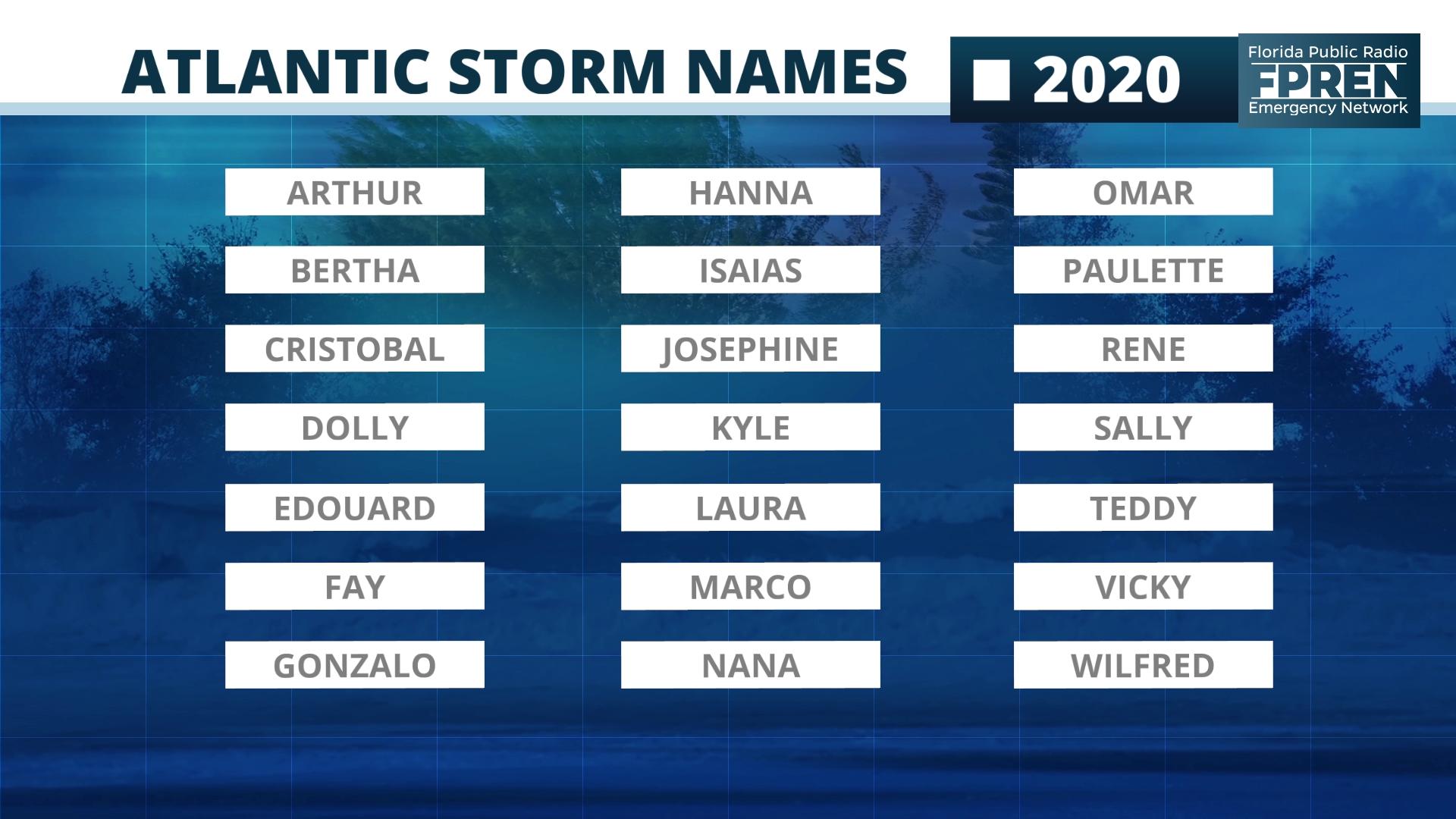
The first tropical or subtropical storm of the 2020 Atlantic Hurricane Season would be given the name Arthur.


