South Florida residents woke up to a soggy Sunday morning.
The soggy morning in #SoFla is from a non-tropical disturbance. I would reschedule afternoon outdoor plans most spots south of I-4. #flwx pic.twitter.com/zw3dcbyq4b
— Jeff Huffman (@HuffmanHeadsUp) August 20, 2017
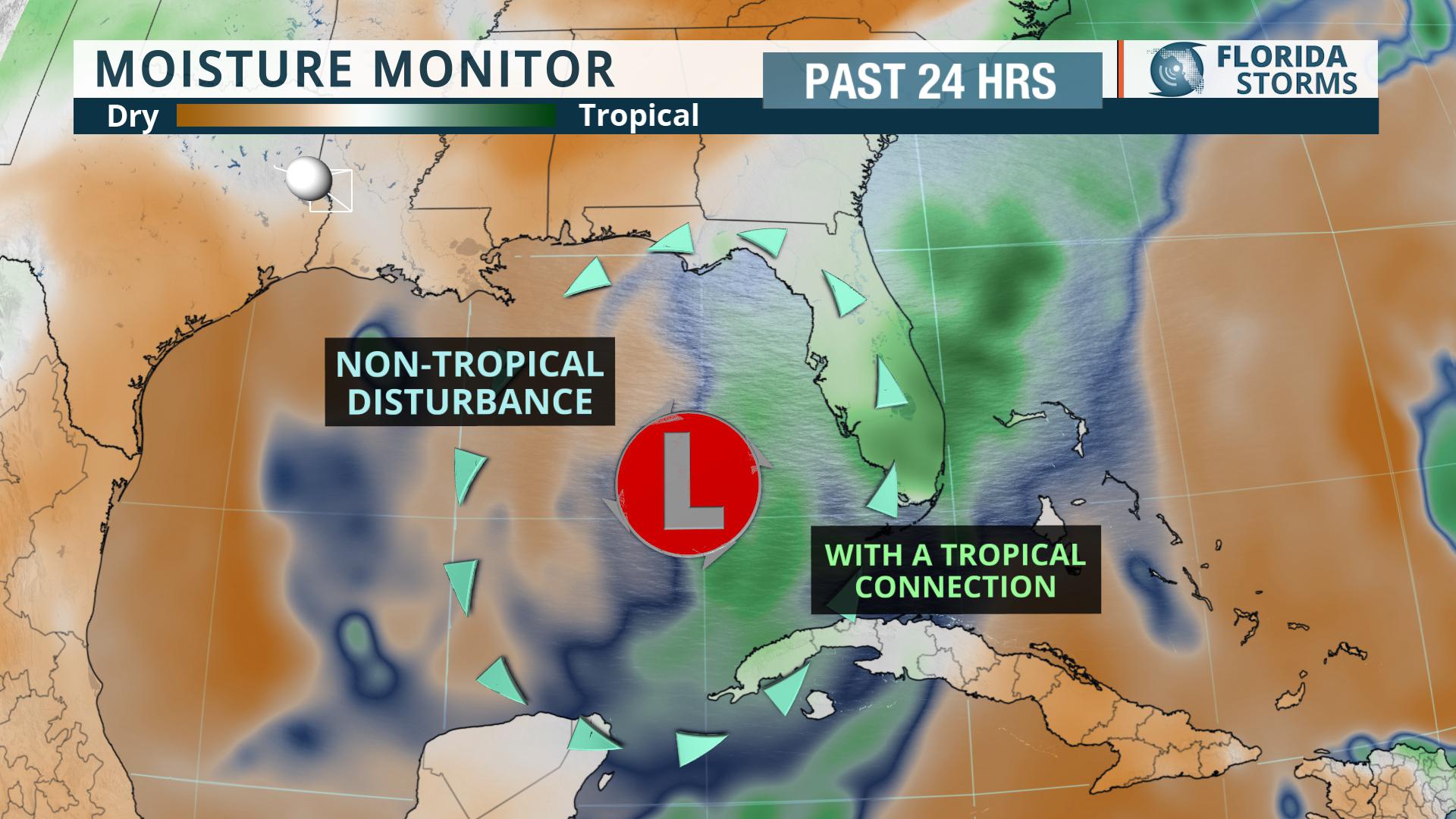 A non-tropical disturbance with a tropical connection is to blame for the busted beach plans Sunday in much of central and south Florida. A large area of clouds and steady rain will continue to move northwest across the peninsula. An upper-level area of low pressure has drifted into the Gulf of Mexico, inducing a strong southwest flow on its east side. This path of wind will draw tropical moisture into the southern half of the Sunshine State through Sunday night. Periods of rain, with some embedded heavier rain and thunder, should be expected in most areas through early Monday. Conditions will gradually improve Monday in South Florida, while the extensive cloud cover and blotchy rains move northwest into the Gulf.
The maps below are always updated with the future radar over the next 12 hours and projected rain over the next three days.


