A strong front sweeping through the Gulf of Mexico will produce heavy rain and strong thunderstorms during its passage through Florida this weekend.
The heavy rain is not welcome news in the Florida Panhandle, where a Flash Flood Watch is in effect through early Sunday.

Many creeks, streams and rivers in the advised area are still high from the widespread heavy rain and flooding that occurred last week. Rainfall totals of more than two inches are possible near Pensacola, with one to two inches of rain likely from Destin to Panama City to Tallahassee.

Not as much rain will fall across the rest of the peninsula, especially in portions of east-central Florida where significant rain is needed the most. Many of these areas have entered into a moderate drought, according to the National Drought Mitigation Center.

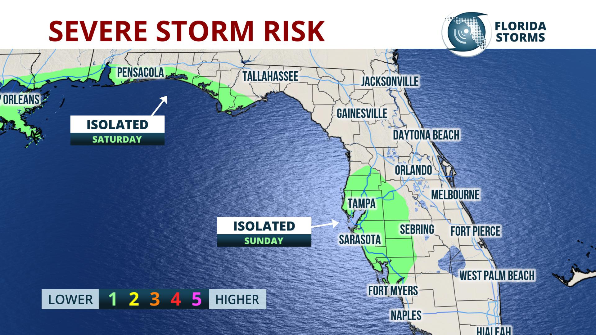
A strong thunderstorm or two can't be ruled out ahead of the front, potentially producing damaging wind gusts or an isolated tornado. Chances of this occurring are quite low, but if it were to happen, areas most at risk are coastal regions of the panhandle Saturday night and west-central Florida on Sunday.
The strong front will clear the state Sunday night, making way for another blast of cold air to sweep across Florida Monday. The front is a part of a larger storm system that will likely dump heavy amounts of snow and ice in portions of North and South Carolina Sunday.


