A possible tornado damaged several homes and a church in central Florida early Thursday morning.
Lake County Emergency Management believes a tornado may have been responsible for the damage to several structures in Mascotte, which is located about 35 miles west of Orlando. Officials posted photos of the damage on Facebook and reported that at least one home was completely destroyed.
The Lake County Sherriff's Office also reported damage to numerous power lines and trees in the area, but said there were no injuries or deaths.
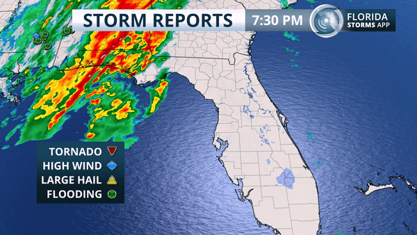
The dangerous storms were associated with a squall line that moved quickly across the state Wednesday night. The line was driven by a powerful cold front that was forecast to clear the state by Thursday evening. Strong winds aloft were transferred to the ground by the violent thunderstorm downdrafts, which reportedly caused damage in fourteen other communities across the state.
The storm that produced the possible tornado near Tuscanooga was part of that line. Here is what the radar looked like shortly after 5:30 this morning as the storm crossed from Sumter into Lake County.
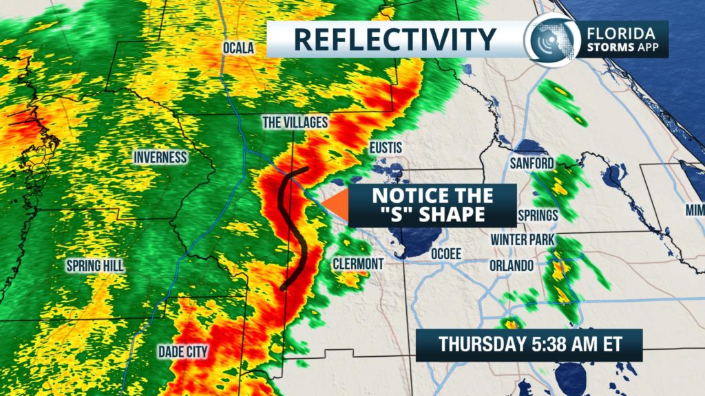
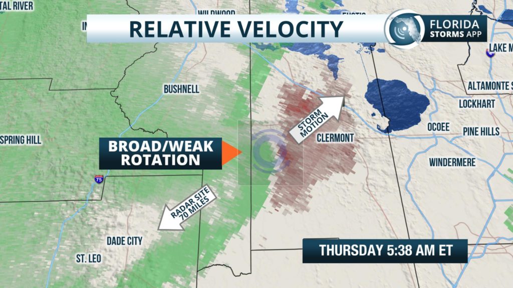
This part of the line has an slight “S” shape (left), which can signal rotation. The rotation, however, was broad and weak from the radar's perspective in Tampa Bay (right). The red coloring near and to the east of Tuscanooga represent winds blowing away from the radar, while the green coloring near Center Hill represents winds blowing toward the radar.
Residents in the damaged area likely had little warning of the violent weather. Not only did it occur at an unusual time of day (compared to most Florida thunderstorm events), Lake and Sumter counties are more than 70 miles from the nearest Doppler radar site. At this distance, meteorologists can only see the rotation at an elevation of about 5,500 feet above the ground. It's possible the rotation was much stronger closer to the ground, and this may explain why there was no tornado warning issued for this particular cell. There were, however, numerous prior alerts issued by forecasters from the National Weather Service, which alluded to the dangerous weather moving in.
Wednesday night's storm system also caused damage in nearby Center Hill, where winds destroyed a metal building and flipped a pontoon. This followed a violent storm that also caused extensive damage in Citrus Hills, Florida at around 4:40 am Thursday. Meteorologists from the National Weather Service estimated winds from this storm to be as high as 70 mph.
The weather in Florida has been quite active this winter, thanks in large part to a developing El Niño. An El Niño is a naturally occurring warming of the Pacific Ocean near the equator that happen every two to seven years. There is strong correlation to extreme weather events all over the globe from an El Niño, but more specifically to a stronger wind pattern across Florida in the winter months. And it's not uncommon for the Sunshine State to receive above normal precipitation and episodes of severe thunderstorms during an El Niño winter.


