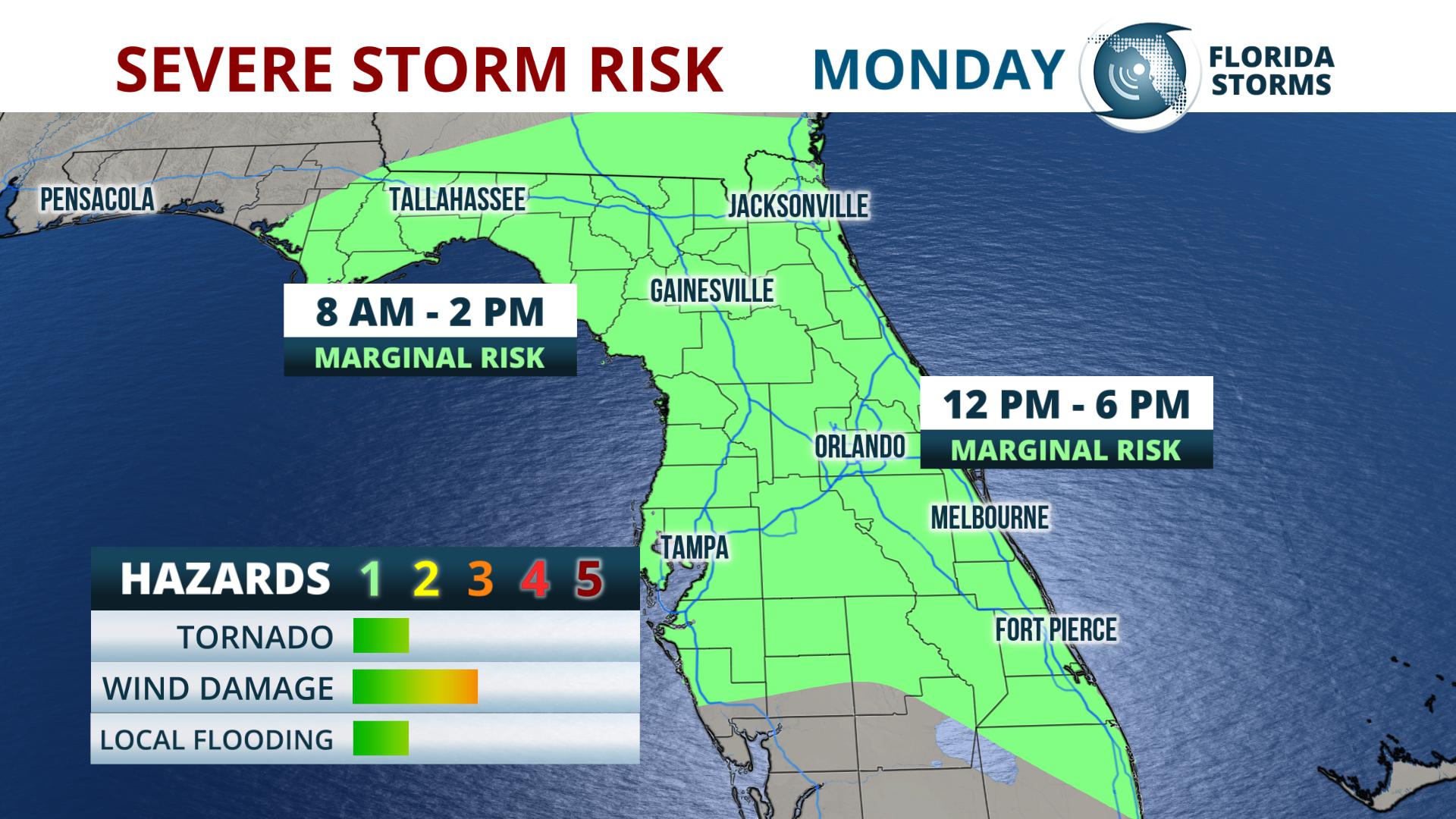
Thunderstorms capable of producing wind damage, hail, or even an isolated tornado are possible across portions of north and central Florida Monday.
The storms are likely to get an early start in North Florida, where the strongest cells could produce wind damage, small hail, and very heavy rain between 9 am and Noon.
NEXT FEW HOURS: Thunderstorms will be rapidly developing and become capable of producing wind damage, hail, and very heavy rain.
ETA to #Gainesville #Ocala between 9-10am. #Jacksonville metro 10-11 am. #FLwx pic.twitter.com/k9mbhfbmWU
— Florida Storms (@FloridaStorms) May 13, 2019
A large complex of storms is then expected to move east-southeast into portions of Central Florida by early afternoon.
EARLY AFTERNOON: Future Radar animation of possible severe storm development in #CenFla just after noon. The strongest activity is expected from #TheVillages to #DaytonaBeach between 1 and 3 pm, then spreading south & east toward #Melbourne and #Tampa. #FLwx pic.twitter.com/4HHN5ymykQ
— Florida Storms (@FloridaStorms) May 13, 2019
The most likely times of arrival of the thunderstorm activity is listed below:
Tallahassee - 9:30 to 10:30 AM
Gainesville - 10:30 AM - Noon
Jacksonville - 11 AM - 1 PM
Daytona Beach - 10 AM - 1 PM
Orlando - 1 PM - 3 PM
Tampa - 1 to 3 PM
Melbourne - 1 to 3 PM
A warm, humid, and unstable air mass ahead of a cold front over the Florida Panhandle has created an environment that's favorable for today's strong thunderstorms. NOAA's Storm Prediction Center says the greatest risk for gusty to locally damaging winds, small hail, and perhaps a brief tornado will be from the Florida Big Bend into Northeast and Central Florida.
 Thunderstorms are also possible south of the Interstate 4 corridor, generally after 3 PM. The winds higher in the atmosphere are not as strong over South Florida; however, Ft. Myers, Vero Beach, Ft. Lauderdale, and Miami will have a chance of scattered thunderstorms toward sunset. Some of these storms will pose a threat of brief wind gusts. Torrential rain and lightning are threats with any thunderstorm.
Drier and more stable air will enter the state, mainly north of Interstate 4 on Tuesday. Another round of showers and thunderstorms are possible, mostly south of I-4 Tuesday afternoon as the front hangs up in that area.


