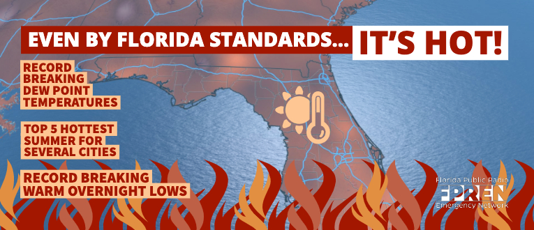
The recent heat has been record-setting in parts of Florida, and in some unusual ways.
Yesterday’s high temperature of 98 degrees in Jacksonville tied its daily record for August 11 set in 2011. This is a type of record one would normally expect during a heat wave.
However, high levels of humidity have prevented the mercury from falling as much as it normally does overnight. The morning lows have been so warm, they’ve also broken a few records across the state.
Recent record warm minimum temperatures
*Daily record minimums have been set in Tampa three mornings in a row.
One of the most common ways to measure how comfortable it feels — the dew point temperature — has been so high that, it too has been record-setting. Jacksonville’s dew point temperature reached 80 degrees Sunday, which tied the daily record from 1952. Gainesville’s dew point also hit 80 degrees Monday, breaking the old daily record of 79 in 1999.
Credit: Forecaster Nicolette Zangara
A large ridge of high pressure covering the Deep South is one of the largest drivers of the heat. The ridge is warming temperatures high in the atmosphere, which is delaying the development of thunderstorms each day. This delay gives the air more time to heat up, and it’s why temperatures have soared above their mid-August averages.
There are a few possible reasons why the dew points have been so high. Persistent westerly winds in the lower part of the atmosphere, flowing from the Gulf of Mexico, can certainly lock the moisture in. Evapotranspiration from above normal precipitation this summer over the peninsula may also be adding moisture to the air. Since the air temperature cannot fall below its dew point, early morning low temperatures have been far above normal.
2019 has already been a hot summer for the state according to data from the Southeast Regional Climate Center. Each official climate reporting station is reporting warmer than average temperatures. Cities such as Miami, West Palm Beach, Tampa, St. Augustine, and Pensacola are experiencing one of their “top five“ hottest summers, when using a blend of both high and low temperatures.
A gradual reduction in the heat is in the forecast by midweek. The high pressure ridge is forecast to rebuild over the Southwestern United States Thursday and Friday. As it does so, a weakness in the ridge will develop over Florida. This will cause upper-level temperatures to fall a few degrees, making it easier for thunderstorms to form earlier in the day. The added cloud cover will prevent temperatures from reaching the extreme levels experienced this weekend. However, the high levels of humidity are expected to continue over the state.


