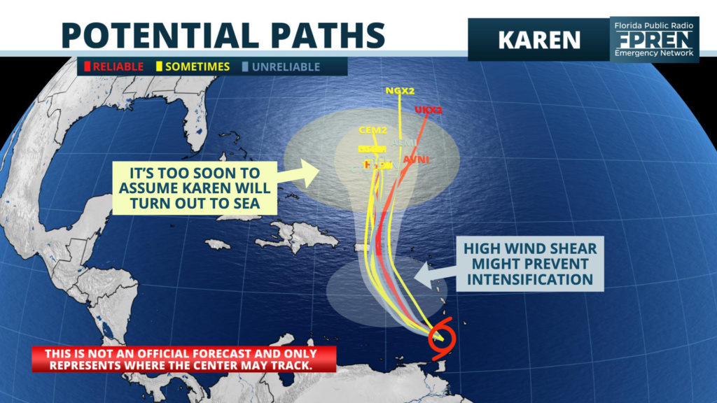
The eleventh tropical storm of the 2019 hurricane season formed early Sunday morning near Grenada.
Tropical Storm Karen is forecast to move into the northeastern Caribbean Sea by Tuesday, and a tropical Storm Watch was issued for Puerto Rico and the U.S. and British Virgin Islands.

The long range forecast track for Karen is highly suspect after the storm moves north of Puerto Rico, and all those with interests in the Bahamas are encouraged to stay informed of future forecasts on Tropical Storm Karen.
Elsewhere in the tropical Atlantic Ocean, Tropical Storm Jerry has become disorganized and unlikely to recover from a persistent battering of strong upper-level westerly winds. As of 11 am Sunday, the former hurricane was located 470 miles south-southwest of Bermuda and moving north-northwest at 10 mph. Despite the unlikely scenario that Jerry regains hurricane strength, strong winds and heavy rain are possible on the island of Bermuda Tuesday as Tropical Storm Karen moves nearby.
A strong tropical wave emerged off the west coast of Africa early Sunday, and forecasters at the National Hurricane Center say a tropical depression or storm is likely to form by Sunday evening. The next tropical storm in the Atlantic basin would be named Lorenzo.
