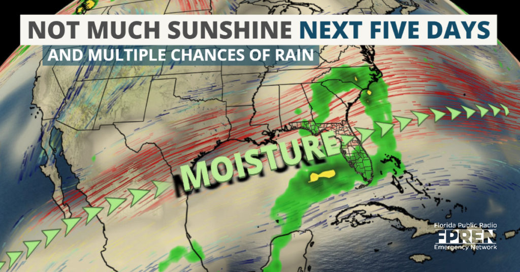
A plume of subtropical moisture is taking aim at Florida, and there are two opportunities for widespread rain over the next five days.
A series of disturbances, embedded high in the atmosphere over the Southwest U.S., are expected to move along this river of air - commonly known as the subtropical jet stream - toward Florida during the middle and latter part of the week.
These disturbances, which are originating in the Pacific Ocean, will also pick up moisture from the Gulf of Mexico as they head for the Sunshine State. Abundant cloud cover from these disturbances should keep sunshine limited and temperatures near or below average.
Showers will be approaching the Florida Panhandle Wednesday morning as the first area of low pressure moves in from the west. The off and on rain will then move into north Florida by early evening, and remain in those locations through the overnight hours. On Thursday morning, the wet weather is expected to rapidly move through central and southeast Florida, where it should end in most areas by early afternoon.
A brief shot of drier air will follow the first system, and most areas will be rain-free Thursday night and early Friday. However, clouds and moisture will be quick to move in ahead of a second storm system later in the day.
System #2 will likely behave much like the first one that moves through Wednesday. Rain will begin moving into the panhandle by the late morning hours Friday, and showers will sweep across the peninsula Friday night. The wet weather will then likely move into central Florida during the overnight hours, followed by a trip across South Florida Saturday.
The chance for these disturbances to produce thunderstorm activity is low. However, upper-level winds might be strong enough to support the a rumble or two with the second one on Saturday. The greatest chances of an isolated thunderstorm will be south of Orlando, where higher levels of moisture and instability are projected to be present.
The Sunshine State will begin to live up to its name again starting Sunday, when a more prolonged period of dry weather should commence.


