The National Hurricane Center will be watching the southern Gulf of Mexico closely this week, where forecasters say a tropical storm could form by Wednesday or Thursday.
A large area of showers and thunderstorms were observed on satellite Sunday across Central America, where a weak area of low pressure was present. Embedded in the broader circulation was the remnants of Tropical Storm Amanda, a short-lived Eastern Pacific cyclone that moved ashore in Guatemala Sunday morning.
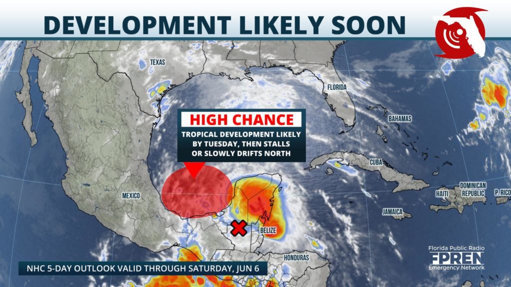
Most reliable forecast model simulations indicate some degree of tropical cyclone formation in the Gulf of Mexico by midweek. A few of the more recent runs of those models even suggest there will be an opportunity for intensification of the potential storm before possible landfall somewhere along the Gulf Coast from Texas to the Florida Panhandle.
While it would not be credible at this time to project where the newest potential storm may track or how strong it could become, it’s never too early to prepare for what NOAA says is likely to be a busy season ahead.
The Atlantic hurricane season officially begins Monday, but two named storms have already come and gone during the month of May. Both tropical storms Arthur and Bertha developed east of Florida and affected parts of the Carolinas with heavy rain, rough seas and gusty winds. If a tropical storm forms in the Gulf of Mexico this week, it would acquire the name Cristobal (pronounced krees-TOH-bahl).
The Florida 2020 Disaster Preparedness Sales Tax Holiday runs through June 4, and the Florida Department of Revenue has published a list of items that qualify as tax-free. You can also use the Florida Storms app and tap the “Get Ready” banner for a complete guide on preparing your home and family for a possible life-altering event.
The Florida Public Radio Emergency Network team of meteorologists will be monitoring forecast trends around the clock this week and over the six-month season ahead to keep you informed of every development.


