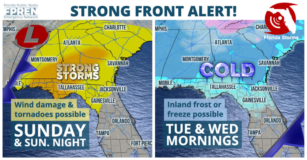
A strong storm system has the potential to produce severe thunderstorms across portions of the Sunshine State Sunday night and Monday, which will then be followed by the coldest air of the late fall season for all of Florida.

Thunderstorms capable of producing wind damage and tornadoes will be lined up ahead of a cold front when it arrives near Pensacola and the Emerald Coast late Sunday afternoon and evening. The storms are expected to reach the Panama City and Tallahassee regions later Sunday Night, then move into portions of north and central Florida from Gainesville and Ocala to Jacksonville and Orlando Monday morning. Showers and thunderstorms are also possible in South Florida along the front Monday night, although they will likely be weaker and more on the scattered side.
The air mass following Sunday and Monday's front will be the coldest of the late-fall season. In fact, so cold that the first frost or freeze of the winter will likely occur across inland areas north of the I-4 corridor and across the Florida Panhandle Tuesday or Wednesday morning.
