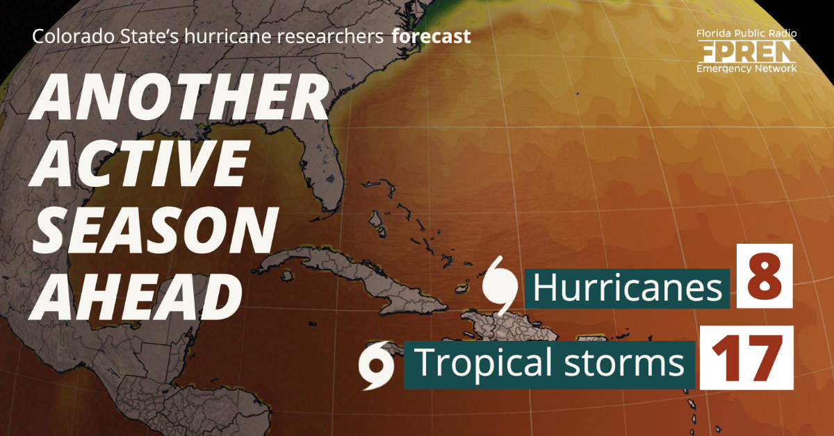
Hurricane researchers at Colorado State University are forecasting another active hurricane season, even as residents of the Atlantic and Gulf coasts may still be recovering from last year's historic events.

Dr. Phil Klotzbach, program director of Colorado State University (CSU) Tropical Meteorology Project, presented the team’s forecast at the annual National Tropical Weather Conference Thursday. The team is predicting 17 named storms for the North Atlantic, which runs from June 1 to November 30. Of these named storms, researchers expect eight to become hurricanes (sustained wind speed of at least 74 mph on Saffir-Simpson Hurricane Wind Scale) and four to reach major hurricane strength (Category 3 - 5) with sustained winds of 111 miles per hour or greater. Klotzbach says the reason for the above-average forecast was the forecast lack of El Niño conditions and warmer than average subtropical Atlantic sea surface temperatures.
A normal hurricane season generally produces 12 named storms, including six hurricanes and three major hurricanes.
CSU bases its forecasts on a statistical model, as well as a new model that uses a combination of statistical information and forecasts from a dynamical model. These models are built on about 30-60 years of statistical and statistical-dynamical methodologies including, but not limited to, Atlantic sea surface temperatures, sea level pressure, vertical wind shear, El Niño Southern Oscillation, and other factors.
The CSU report also includes the probability of major hurricanes making landfall along coastlines in the North Atlantic Basin:
The forecast team also tracks the likelihood of tropical storm-force, hurricane-force and major hurricane-force winds occurring at specific locations along the coastal United States, the Caribbean, and Central America through its Landfall Probability website.This is the 38th year that the CSU hurricane research team has issued their Atlantic basin seasonal hurricane forecast. Bill Gray, the founder of the seasonal forecasts, launched the report in 1984 and continued to author them until his death in 2016.
The 2020 Atlantic Hurricane Season broke multiple records and is currently the most active and the fifth costliest Atlantic hurricane season on record. The season features 31 total cyclones of which 30 became named storms. Out of the 30 named storms, 13 gained hurricane strength, and six achieved major hurricane status. The contiguous United States was impacted by 11 storms, breaking the record of nine set in 1916. The 2020 season was the fifth consecutive season in which at least one Category 5 hurricane formed — Hurricane Iota. The season featured 27 tropical storms which established a new record for the earliest formation by storm number. The historic season also recorded 10 tropical cyclones which underwent rapid intensification, tying the record with the 1995 season.
The season also utilized the Greek Alphabet for the second time in history; it would also be the final time the naming system would be used. The World Meteorological Organization retired the names of Laura, Eta and Iota and eliminated the use of the Greek letter storm naming system for future seasons.
The State of Florida overall was relatively lucky during the 2020 Hurricane Season. Florida was brushed by four systems of which only Tropical Storm Eta made a direct landfall. The most memorable for Floridians was likely Hurricane Sally, which crossed the southern end of the peninsula as a depression before making landfall on September 15th near Gulf Shores, Alabama. Sally brought massive storm surge and flooding to the western Florida Panhandle, especially to the city of Pensacola. The state also experienced a disturbance that crossed the Panhandle in July which later intensified into Tropical Storm Fay off the coast of Georgia. Finally, the month of August opened with Isaias running north off Florida’s East Coast as a strong Tropical Storm.
Coastal residents are encouraged to prepare for hurricane season early by reviewing evacuation routes ahead of time, purchasing flood insurance, and having emergency provisions on hand along with a disaster plan in place. No matter the frequency of storms forecast, it only takes one storm making landfall to make it an active season.
The CSU forecast is intended to provide a best estimate of activity in the Atlantic during the upcoming season. It is not an exact measure. Updates to the 2021 Atlantic basin hurricane forecasts from Colorado State will be released on June 3, July 8 and August 5 as new information becomes available leading up to the most active months of the season, which are usually September and October.
