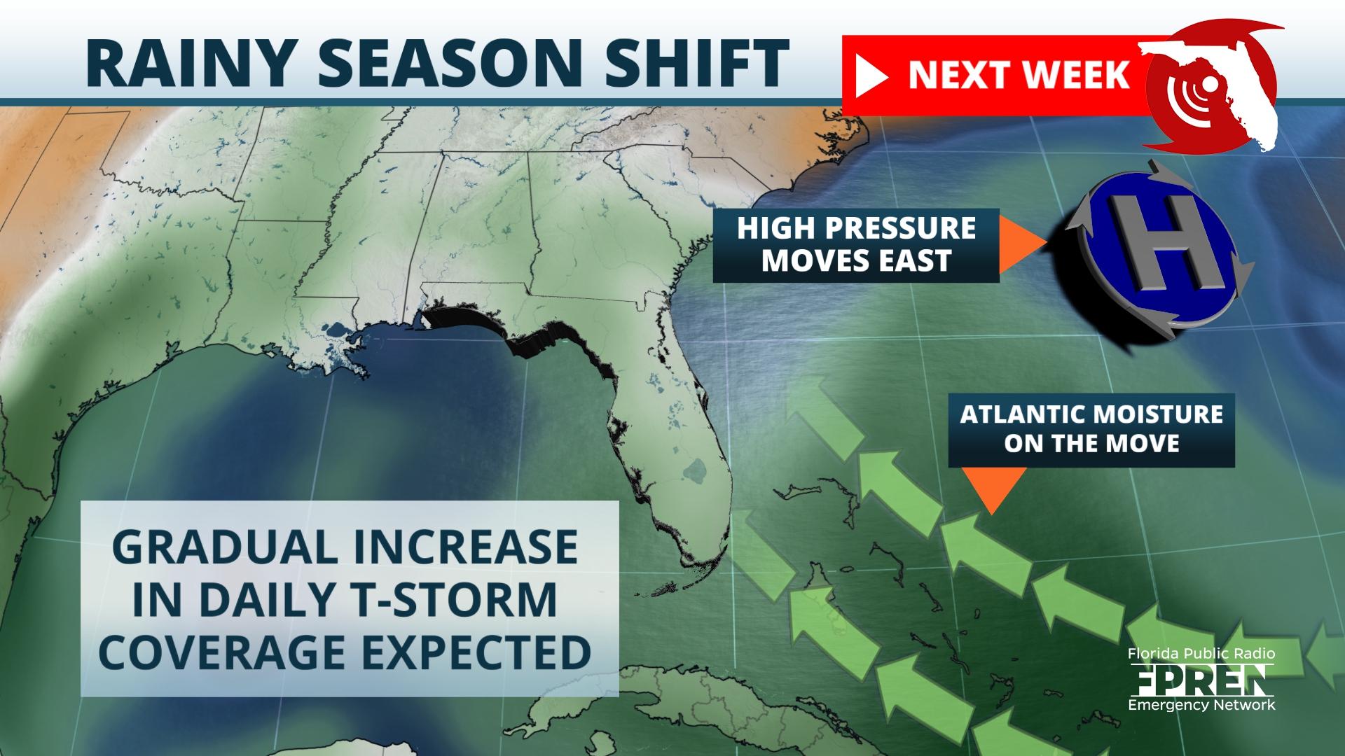
The start of hurricane season isn't the only weather story next week. Florida's rainy season is also set to begin. And for many, it can't come soon enough.

Abnormally dry conditions have now spread across all of South Florida and parts of Central Florida, according to an update from the National Drought Mitigation Center released Thursday. Moderate drought conditions have also now been reported in most of Collier and Monroe counties, according to the report. Rainfall deficits of 3 to 5 inches have been observed in these areas over the past 30 days, and drier-than-normal conditions have also been noted across much of North Florida since late April.
It's not uncommon for long stretches of dry weather to occur in Florida during the spring months, but the recent weather pattern has been a bit unusual even for this time of year. An abnormally strong ridge of high pressure has been persistent in the Southeast over the past few weeks, and the sinking air from this weather system has suppressed cloud development and prevented widespread rain from occurring. Surface winds from the north or northeast have also kept the air mass underneath the ridge unusually dry and slightly cooler than normal, which has only exacerbated the increasing dryness.
A shift in the upper-level pattern is in the forecast this weekend, which will weaken the ridge and allow a cold front to approach Florida from the north. This will induce a more seasonal (southerly) wind pattern and gradually allow atmospheric moisture to return, resulting in an uptick in rain chances along sea breezes from the Gulf of Mexico and Atlantic Ocean.
The transition to Florida's rainy season is happening a bit later than normal this year, and it will also likely be more gradual to occur. Afternoon showers and thunderstorms are expected to remain isolated in nature this weekend, only occurring near the approaching front in North Florida or along a sea breeze in South Florida. Forecast data suggests a steady increase in available moisture and increasing instability will lead to more numerous and widespread thunderstorm activity across the rest of the state by late next week. However, it may take several weeks of diurnal thunderstorm activity or a larger weather system to produce the rainfall amounts necessary to erase the deficit and eliminate the drought conditions noted recently in South Florida.
Meteorologists at the National Weather Service offices in Tampa and Miami have determined average start and end dates of the rainy season in their area by analyzing decades of historical data. Parameters used for the studies included nearby sea surface temperatures, available or persistent levels of atmospheric moisture, and diurnal maximum or minimum temperature trends. In general, both studies have concluded that the "in season" period is characterized by warm, humid conditions with frequent showers and thunderstorms.
In Miami, the wet season has a median start date of May 21, lasting an average of 152 days and concluding around October 17. Similar dates were concluded by the Tampa office for Southwest Florida, but there was tendency for a slightly later start date (May 25) and sooner end date (Oct 10) to the wet season in West Central Florida. The Tampa office noted that 55% to 70% of their annual rainfall falls during the period of June to September.
