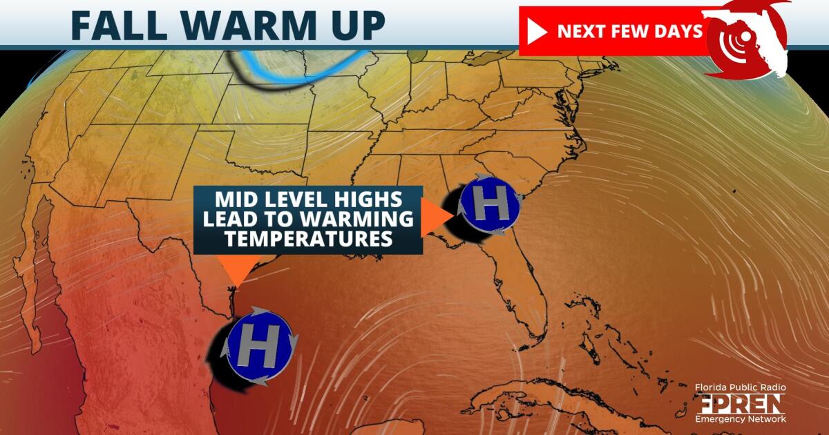
Afternoon highs are on track to approach or achieve their daily records, especially Thursday and Friday mainly over the interior and Gulf side of the peninsula.
A large high pressure ridge over the central Gulf coast will move over the Carolinas this week. East winds over the state, combined with a warm airmass, may cause a few records to be tied or broken. Tampa's forecast high of 91 degrees on Thursday would be within 1 degree of its record high set just last year. Fort Myers forecast high of 91 would also be within 1 degree of its record high set two years ago, in 2019. Leesburg is expected to top out in the lower 90s on Friday, which would approach its record of 92 last set in 2018.
Areas that do not tie or surpass their record highs will experience above normal temperatures, especially over the Panhandle and the northern and central peninsula. Average highs are generally in the lower 80s over the Panhandle, and mid 80s over north and interior Central Florida. Highs are expected to run about 5 degrees above average for most of the week. The exception to the warmer-than-usual temperatures will be along the Atlantic coast, especially from the Space Coast south to the Treasure and Gold Coasts. A stronger easterly flow from the Atlantic will have a moderating effect on these areas.
A cold front will move through the Panhandle Saturday afternoon and evening, with somewhat cooler temperatures there on Sunday. The front will stall over central Florida Sunday and Monday, with a modest decrease in temperature by early next week.
9(MDA5NDY0MjA5MDEzMzcwMjQ4MTUxZWMwMg004))
