Winter is typically the driest season of the year in Florida, and below average rainfall is expected this year due to the return of La Niña. For central and south Florida, this could exacerbate the risk of drought and wildfires over the coming months.
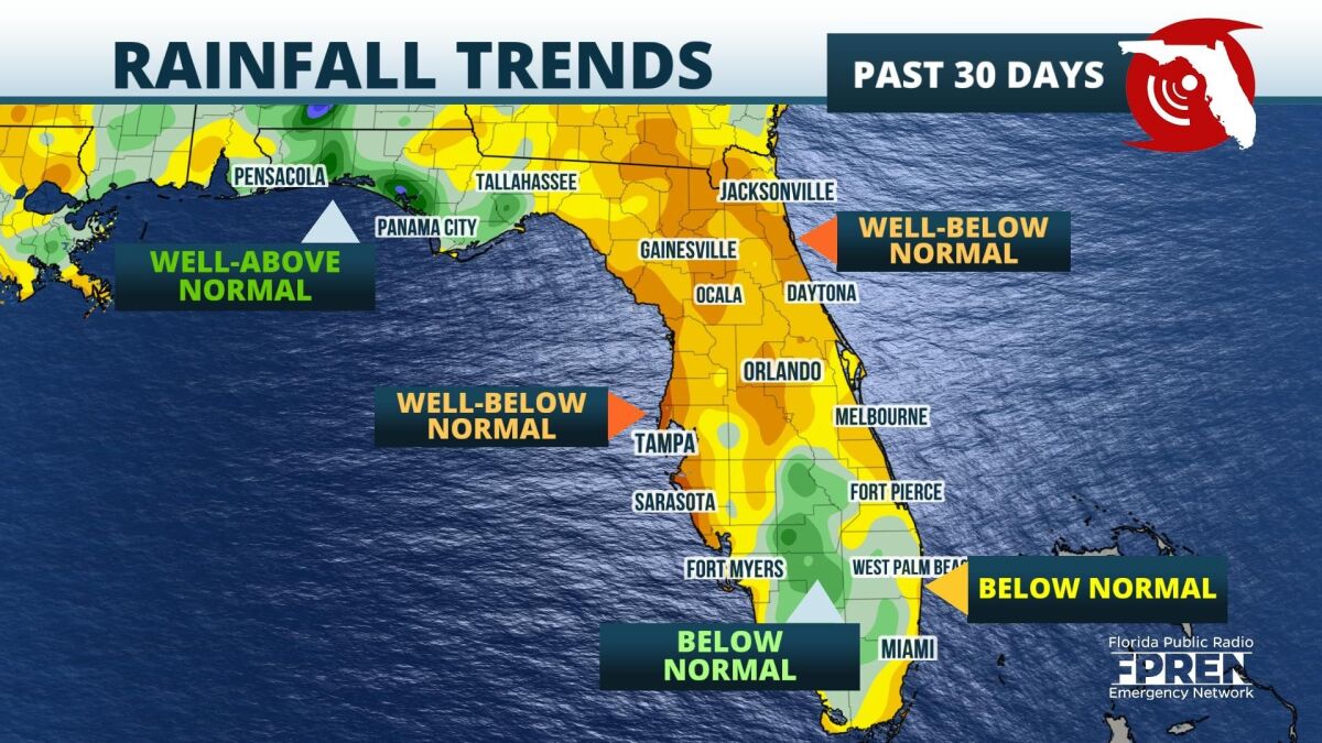
The National Oceanic and Atmospheric Administration (NOAA) released their 2021-22 Winter Outlook Thursday, attributing La Niña as the primary driver for how the winter will evolve. The formation of La Niña leading up to the winter months follows an early end to the rainy season, which has already created 30-day rainfall deficits of 2 to 5 inches across the Peninsula, according to the Southeast Regional Climate Center.
 The seasonal outlook depicts drier-than-average conditions are forecast throughout the Southeast. Drought conditions could develop by late January in Florida. A significantly drier winter is likely to have major implications for the wildfire season, which generally lasts from February through May. Fire danger indices, which take into consideration the amount of matter capable of being ignited and the local relative humidity value percentages, have recently been elevated to high and very high, especially along and south of I-4.
The upwelling of cold water in the equatorial East Pacific is the primary characteristic of La Niña. This results in a jet stream that is more likely to stay north of Florida. This would make cold fronts less frequent across Florida, leading to fewer rainfall events. This is the second year where La Niña conditions are forecast to be present during the winter months, which is not an uncommon occurrence. NOAA refers to this occurrence as a "double dip" event.
While the winter months will likely feature some rainfall, seasonal outlooks provide an idea for how precipitation trends could evolve with time. This is not meant to be a forecast for specific rainfall totals. However, the lack of recent tropical activity and the ongoing rainfall deficit lending credence to the outlook for an abnormally dry and warm winter in Florida.
9(MDA5NDY0MjA5MDEzMzcwMjQ4MTUxZWMwMg004))


