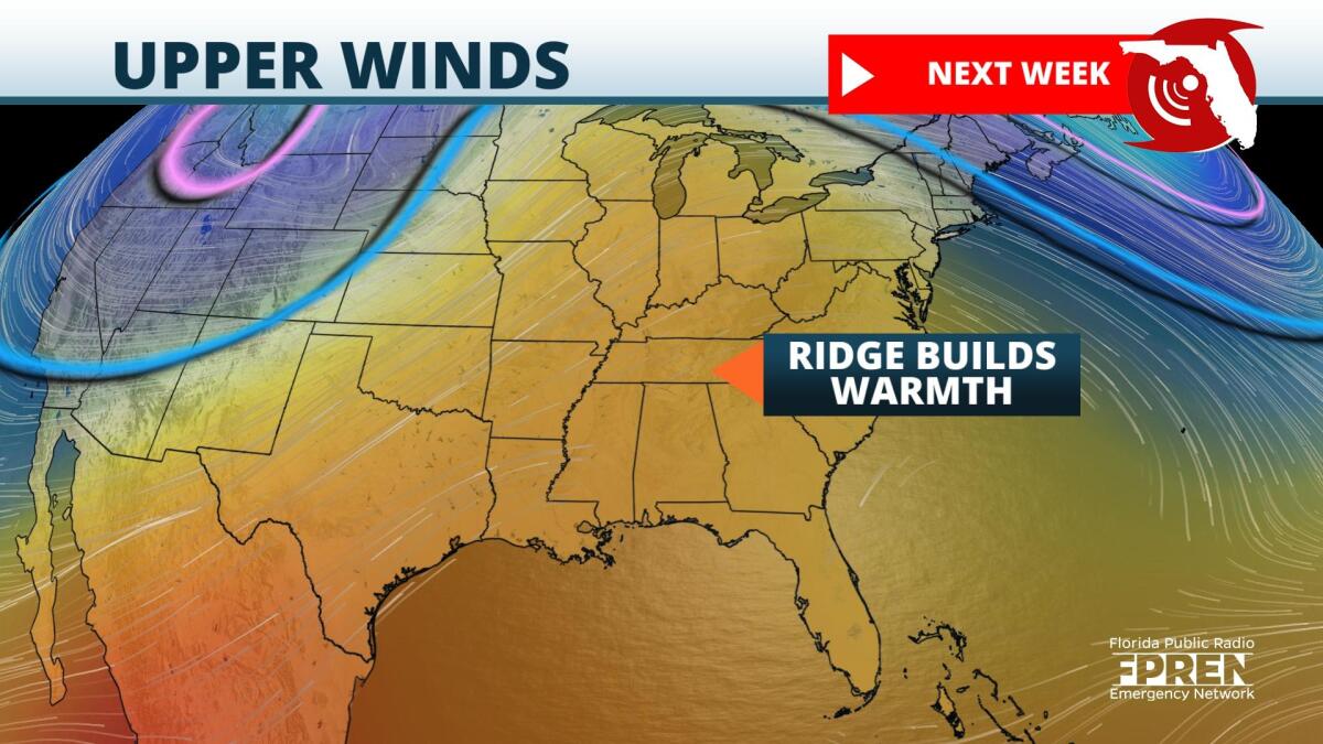
A warming trend gets underway late this week and could result in record-tying or record-breaking temperatures across the Sunshine State.
The start of meteorological winter began December 1st, but temperatures were quite cool across the state during the month of November. Locations that could see record-breaking warmth by Saturday were cooler during the last month of meteorological fall. The average high during the month of November in Gainesville was 72-degrees. So far in December, the average high is 4-degrees warmer, at 76. Another location with an equally impressive warming trend in December includes Pensacola. Average highs last month were 71-degrees, but the first seven days in December have featured average highs over 74-degrees.
This switch in patterns serves as proof that "what goes up, must come down" in nature. Last month, a persistent trough over the Eastern U.S. kept temperatures cooler than average locally. This month, a persistent ridge has provided above-average temperatures and that does not look to change anytime soon. The Climate Prediction Center depicts a very warm outlook during the next two weeks, with a bulls-eye of 90% to 100% confidence that well above average temperatures will be likely from the Mississippi River Valley to New England. The Sunshine State is included in this warmer outlook, with a minimum of 50% confidence that warmer than average temperatures will occur.
Expect high temperatures to reach into the lower and middle 80s starting Friday, lasting through Sunday for parts of the state. A brief cooldown is possible Sunday, especially across the northern half of the state. However, this is short-lived, as temperatures rise back to above average by early next week.
9(MDA5NDY0MjA5MDEzMzcwMjQ4MTUxZWMwMg004))
