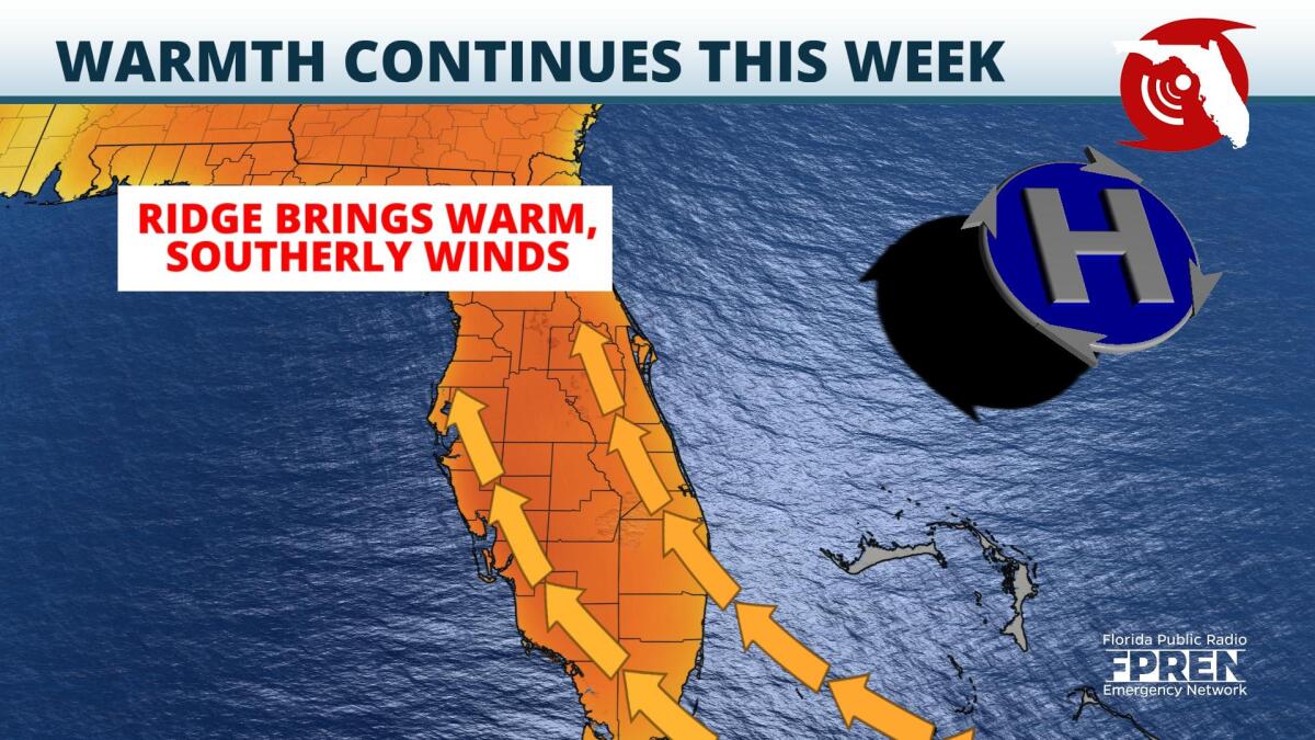
The calendar officially reads late February, but the Sunshine State will feel more like early May in the days ahead as temperatures reach through the 80s.
Meteorological spring begins March 1st, but it seems as though an early start to the season is underway. What is the science behind the late winter warmth? A ridge of high pressure is in place in the mid-levels of the atmosphere. That ridge of high pressure is leading to sinking air, which is why clouds that do develop have been unable to get very tall. The sinking air associated with high pressure compresses and subsequently warms, thus leading to the above average temperatures this week.
Record highs could be broken across the Southeast Tuesday, but even more records could break Wednesday. As high temperatures midweek climb into the middle 80s, records could be tied or broken in both Jacksonville and Tallahassee. Heat continues to build through Thursday, with more numerous records possibly falling from Tallahassee to Tampa as highs reach into the upper 80s. The heat peaks by Friday, with records not likely to be as numerous.
Model guidance does suggest a brief cooldown is possible early next week following a cold front, but temperatures over the next two weeks are likely to stay mostly above average.
9(MDA5NDY0MjA5MDEzMzcwMjQ4MTUxZWMwMg004))
