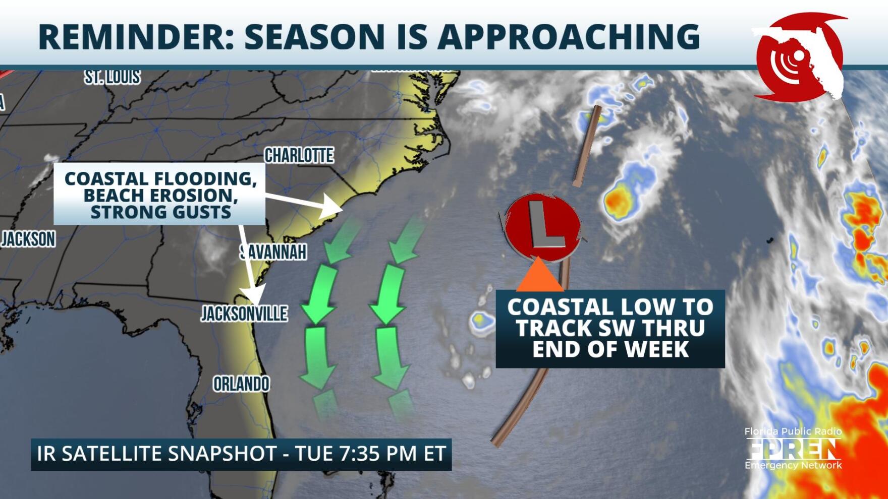
 ,Dangerous surf and gusty winds are forecasted to continue along the Atlantic Coast this week, and unsettled conditions could migrate inland by week's end.
On Tuesday evening, an area of low pressure was centered off the coast of North Carolina. This weather feature is a remnant of last week's cold front that advanced through the Mid Atlantic and Southeast. Over the past few days, gusty winds around the low have stirred up rough surf along the eastern seaboard and have contributed to widespread coastal erosion and flooding.
Forecasters at local National Weather Service Offices and the National Hurricane Center are closely monitoring the low, as it is positioned over the warm waters of the Gulf Stream, which could enhance thunderstorm activity and allow the system to acquire subtropical characteristics. However, regardless of classification, forecasted impacts remain the same. Coastal areas should expect dangerous surf and currents, beach erosion, coastal flooding, and strong wind gusts to persist through the end of the work week. In addition, cloudiness and the chance for quickly moving downpours will increase, especially along the First and Space Coasts by Thursday and Friday. Wind gusts and shower chances will increase over interior peninsular Florida during that time as well.
This system serves as a reminder that the Northern Hemisphere is quickly transitioning into hurricane season. All residents are encouraged to review their shelter-in-place and evacuation plans now so that they are ready for implementation should a system threaten their area.
9(MDA5NDY0MjA5MDEzMzcwMjQ4MTUxZWMwMg004))
