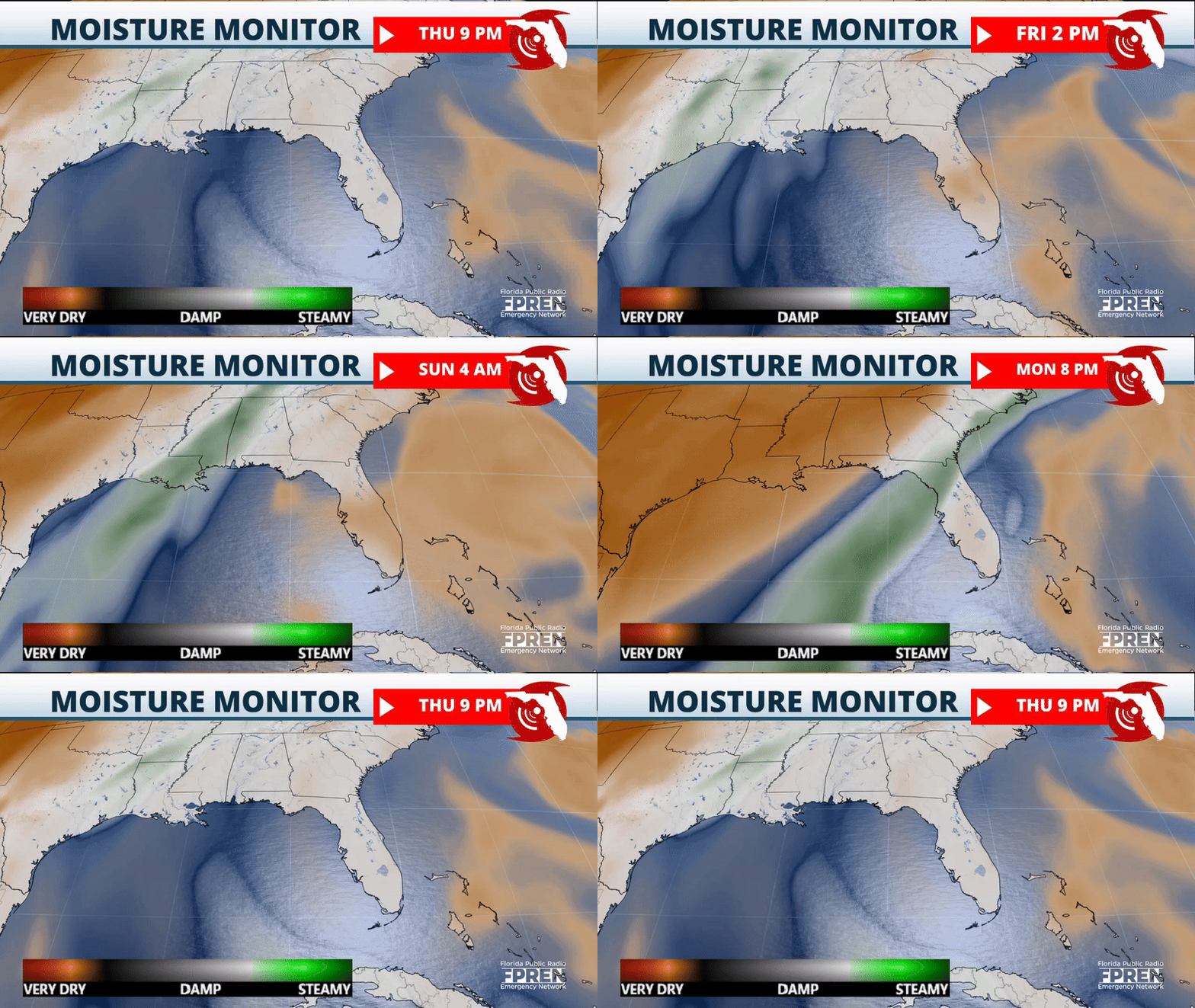
Temperatures will continue to be hot and feel muggy across Florida as a high-pressure system to our east continues to inject moisture and warmth into the state.
For Friday, we will close off the work week with highs that will again reach the low 90s across parts of the Tampa Bay area through Orlando. Jacksonville will not be too far behind, with temperatures close to 90°. Similar temperatures are expected all across the Panhandle. South Florida will remain the spot with slightly warmer-than-usual temperatures for this time of year. Highs will reach the low to mid-80s, but with the humidity, temperatures could feel like they were in the upper 80s.
The lows will remain warm and muggy. Across much of the state, temperatures will be close to 70° around sunrise, while South Florida will remain with temperatures closer to the mid-70s. The warmest spot will shift across different peninsula parts throughout the weekend. But overall, you can expect warmer temperatures to happen along the I-4 corridor, so there will be more between Tampa and Orlando, with highs remaining around the low to mid-90s.
We’re anxiously awaiting the next cold front that will push through Florida. This could be the last burst of cooler temperatures that will swing our way this season. A pocket of cold temperatures is currently dipping into the southern Central Plains. All behind that front has produced severe weather across Ohio and Tennessee valleys the last few days. Cold air will slowly migrate to the east and reach the Southeast. The coldest spots will remain focused across portions of the Appalachian, but Florida can expect a dip in temperatures by the middle of next week.

Where is the rain? We need it
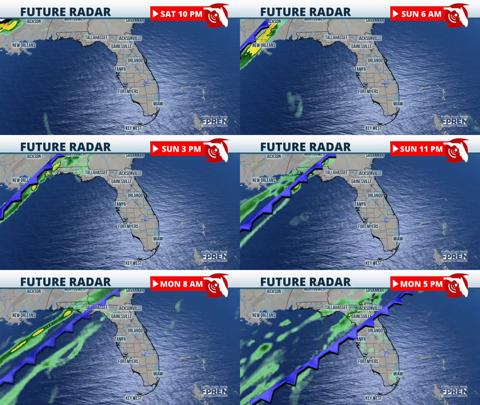
The rain showers will arrive from West to east across the panhandle late Sunday night. Tallahassee will deal with a few showers and possibly an isolated storm by sunrise on Monday. This front will be slow to move. Therefore, the showers will continue falling even on Tuesday morning across North Florida. The rain will be splattered across much of the peninsula on Tuesday; take your umbrella with you as showers are possible across the southern half of the Peninsula with even a chance for an isolated storm. This is the same moisture we discussed late last week: one model showed tropical development. Luckily, this system did not materialize as we predicted, but we predicted an increase in showering and thunderstorm activity across the Peninsula between Tuesday and Wednesday.

Colder and drier air will be pulled southward. Expect temperatures to remain below average this time of the year, just in time to close off the next work week. The coolest morning will be Wednesday, especially across the Panhandle, where temperatures could dip into the low to mid-40s. Central Florida can expect a chilly morning with temperatures around the upper 50s on Wednesday, and lows across South Florida will be refreshingly cool, in the mid-60s.
