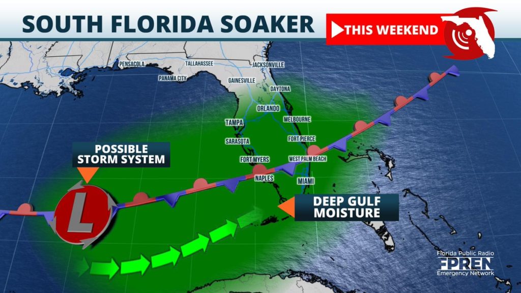
Moisture is expected to return to the Sunshine State this weekend, and it will likely bring much-needed rain to the drought-stricken landscape of central and south Florida.

An area of low pressure will likely form over the Rocky Mountains by the end of the week, then track southeast over the Central Plains. The system should enter the Deep South by Friday, followed by a slow journey across Florida Saturday and Sunday.
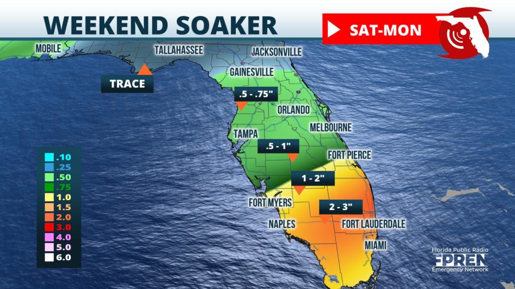
Showers and a few thunderstorms are likely to form along the system’s cold front in the Florida Panhandle Friday night, then North Florida Saturday. Rainfall amounts in these areas will be limited by the forward speed and weak nature of the front, generally accumulating to under an inch in most areas.
The front will sag into Central Florida Saturday night, then stall across South Florida Sunday. A moisture rich air-mass from the Gulf of Mexico will interact with the energy from the system and produce rounds of moderate to torrential rainfall over the region Sunday into Monday.

Two to three inches of rain are expected in parts of Collier, Hendry, Broward and Miami-Dade Counties over the two day period, which should help mitigate the drought that has developed. After initial rounds of downpours saturate the ground, additional storms could overwhelm soils and waterways and lead to flash flooding.
The system should finally push out of South Florida by Tuesday as high pressure builds to the north. Although scattered showers will remain possible next week, the heaviest rain will have departed.
