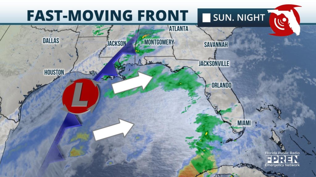
A fast-moving front will trigger numerous showers and thunderstorms ahead of it in South Florida late Sunday Night, and a few of them could produce wind damage or even a tornado.

Satellite and radar data revealed a fast-moving front and storm system was becoming better organized Sunday afternoon over the Gulf of Mexico. Scattered showers are possible across the entire state Sunday evening and overnight ahead of it. However, instability is only marginally favorable for thunderstorms across parts of South Florida.

Areas near and south of a line from Naples to West Palm Beach have been outlined by the Storm Prediction Center as having a marginal (1 out of 5) risk for wind damage or a brief tornado from the strongest thunderstorms as they move through. The storms are expected to arrive along the Gulf Coast of Southwest Florida close to midnight, then spread into Southeast Florida near Miami and Fort Lauderdale after 2 am.
The showers and thunderstorms are likely to exit South Florida by midday Monday, and the a much drier and cooler air mass will filter in behind it statewide Monday night.
