Flooding Hazards
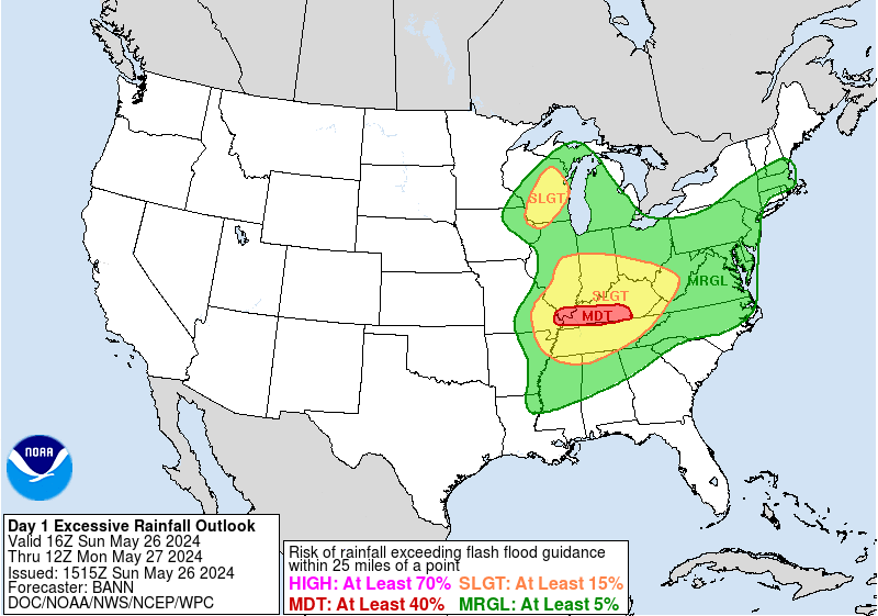
While large and highly impactful severe weather events such as hurricanes, tropical storms, widespread tornado outbreaks, blizzards, and winter storms typically garner the largest media coverage, significant flooding events occur frequently across the United States. Therefore, FPREN’s team of meteorologists and producers ensure partner stations and their audiences are well-informed about flooding potential and risks, providing live-action and pre-produced coverage and content when significant flooding is occurring. Click here to learn more.

Social Feeds


Latest Heavy Rain and Flood News
-
Fire risk across much of Florida: low humidity, strong winds
Bone-dry air is in place across much of Florida, and another cold front will push through early Saturday, which will reinforce the cold and dry air. Winds will also be strong, which could make any fires that ignite become erratic.
-
Two fronts push through Florida: first one brings rain, cooldown
Another cold front is pushing through Florida. Downpours over the Panhandle first, and it seems like the rain will also make it through the entire peninsula. A cooldown is forecast.
-
Florida's Severe Weather Week Is Here, Are You Ready?
Florida's severe weather week is here. And it's a great reminder that weather disasters can happen all year long - not just during hurricane season. From extreme cold to extreme heat, and everything in between, now is a great time to make sure you’re prepared.
-
Prolonged freeze continues for Florida; glimpse at the week ahead
Freeze alerts are in effect for Sunday night across much of Florida. This prolonged freeze will likely impact the crops in Florida.
-
Florida in an igloo! Feels-like temperatures to drop into the single digits
AS the cold front pushes through Florida, the winds will pick up and Arctic air sinks over the state. Prepare for extreme cold.


