Neither Tropical Storm Chris nor the remnants of Beryl will directly affect Florida this week. However, the larger circulation around Chris will send drier air to portions of the state, while other areas will see an increase in tropical moisture.
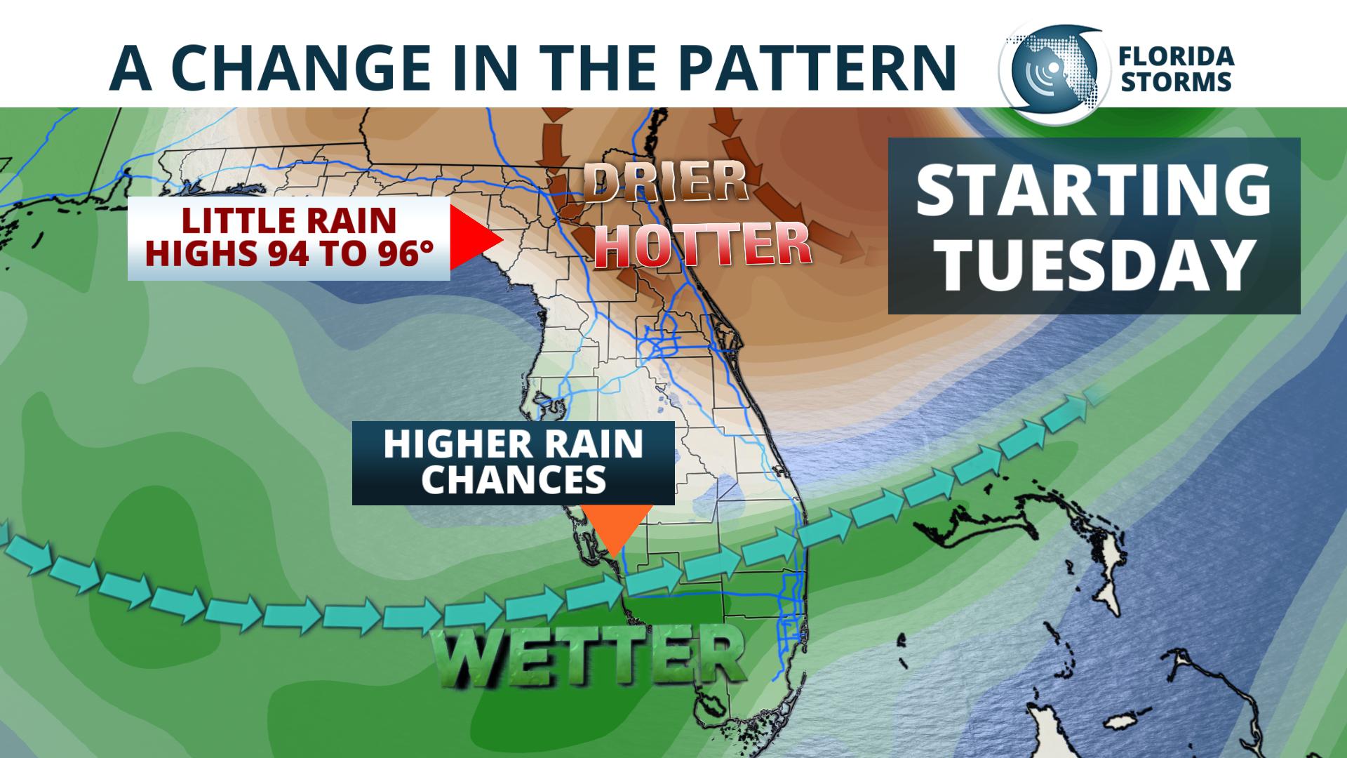
After a stormy Monday in north Florida, drier weather is expected Tuesday through Thursday from a more northerly flow on the back side of Tropical Storm Chris. With the lack of widespread clouds or rain, temperatures will soar in these areas to the middle 90s. It may not feel as oppressive though, thanks to a rare (but welcome) drop in the July humidity.
Conversely, across South Florida, rain chances will be on the rise Tuesday through Thursday due to converging winds from the Gulf of Mexico and the remnants of Tropical Storm Beryl. By Friday, rain chances will be on the rise across the entire state thanks to an approaching area of low pressure from the Southeast U.S.
The latest forecast for the next three days is below...


