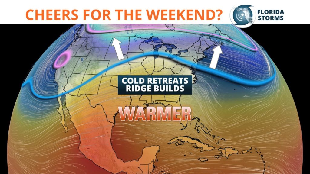
A huge and rapid thaw is underway across much of the nation. And in Florida, the warm up will last at least a week.
Evidence of the shifting temperatures was noted on Twitter to our users midday Friday.
The trend is forecast to continue over the weekend, and by the middle of next week many places will be 10 to 15 degrees above normal across the southeast.
Earlier this week, the jet stream plunged south into Florida bringing freezing temperatures to the northern part of the state. The is the same polar jet stream that ushered in some of the coldest weather in 25 years to the Midwest. Norris Camp, Minnesota reported a low of -48° Wednesday morning, and the wind chill was -65.

The chill that has gripped the nation will be easing over the next few days as the trough in the jet stream is replaced by a ridge of high pressure. The building ridge will allow temperatures to return to normal on Friday, then reach above normal this weekend.
After a week of not seeing temperatures above 70, the mercury will have no trouble reaching the 70's across much of the peninsula Saturday and Sunday.
A weak disturbance may trigger a few showers Saturday across northern and central sections of the state, but most locations will be rain-free on Sunday. The warmer weather continues next week, as the upper-level winds prevent a cold front from approaching Florida until at least Thursday. In fact, for the first time in 2019, highs are forecast to reach the 80's across a large area of the peninsula by Wednesday.
