A dangerous squall line of thunderstorms is expected to sweep across the entire Florida Peninsula today.
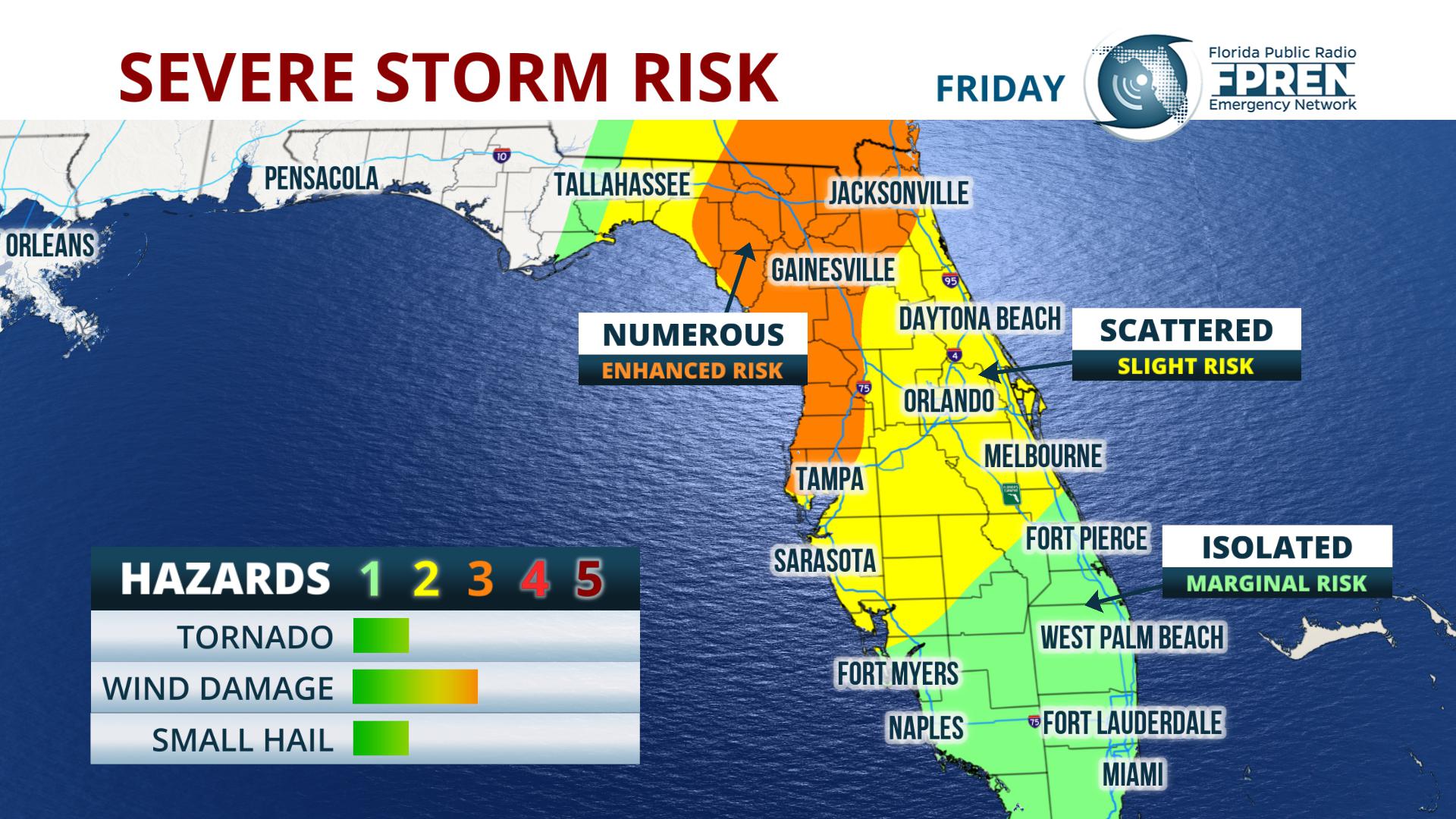
The greatest risk to life and property from this event will come from straight-line winds. The Storm Prediction Center says a few isolated tornadoes may develop today. As the line of storms moves eastward through the Big Bend and Peninsula, straight-line winds may be powerful enough to uproot trees and damage some structures.
Most likely arrival times Friday
Forecasters at the Storm Prediction Center have been highlighting the potential hazard for several days, and the approaching storm system has already proven destructive. More than 400 reports of large hail, wind damage or tornadoes were reported Wednesday and Thursday in the central and southern U.S.
Before the storms arrive, The National Weather Service also says south to southeast winds may gust between 30 and 40 mph because of the interactions between the approaching storm system and the strong area of high pressure in the Atlantic Ocean.
The front is expected to clear South Florida Friday night, leaving behind a much cooler, less humid - and more stable - air mass for the weekend.


