Numerous downpours and a few t-storms are developing across #CenFla, steadily moving east across the peninsula and likely to affect #Orlando #Disney #Universal in next few hours.

📍WUSF WMFE WFIT | 🕒Now on Twitter | ❌Expires passively`
The heavier rain from #Eta is moving through parts of #CeFL including the city of #Orlando. Excessive rainfall could trigger localized flash flooding. Steady rain likely over the next few hours. #flwx
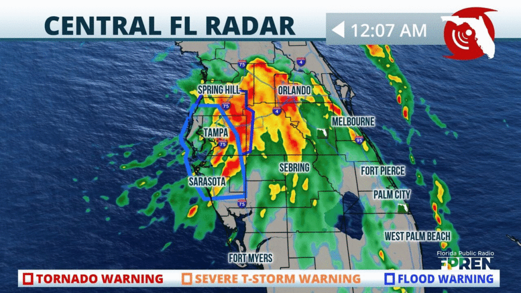
📍WUSF WMFE WFIT | 🕒Now on Twitter | ❌Expires passively`
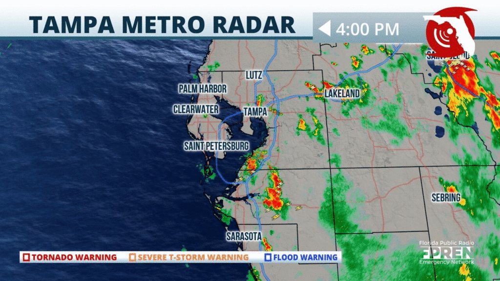
Heavy showers continue to move onshore from the Gulf and into the #StPetersburg and #Tampa areas. Heavy rainfall could trigger localized flash flooding this afternoon, avoid flooded roadways. #flwx
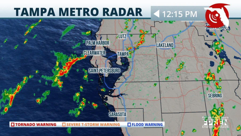
📍WUSF | 🕒Now on Twitter | ❌Expires passively`
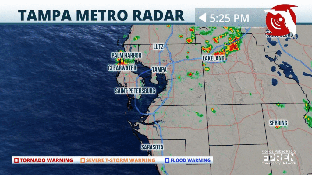
Strong showers and thunderstorms are moving through parts of #Lakeland this evening. Heavy rainfall and frequent lightning will be the main hazards with these storms. #flwx
📍WUSF | 🕒Now on Twitter | ❌Expires passively`
Flood Risk Continues in Southwest Florida, Even as Sally Pulls Away
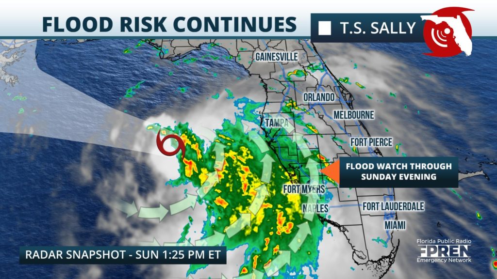
An additional 1 to 3 inches of rain is possible through Sunday evening.
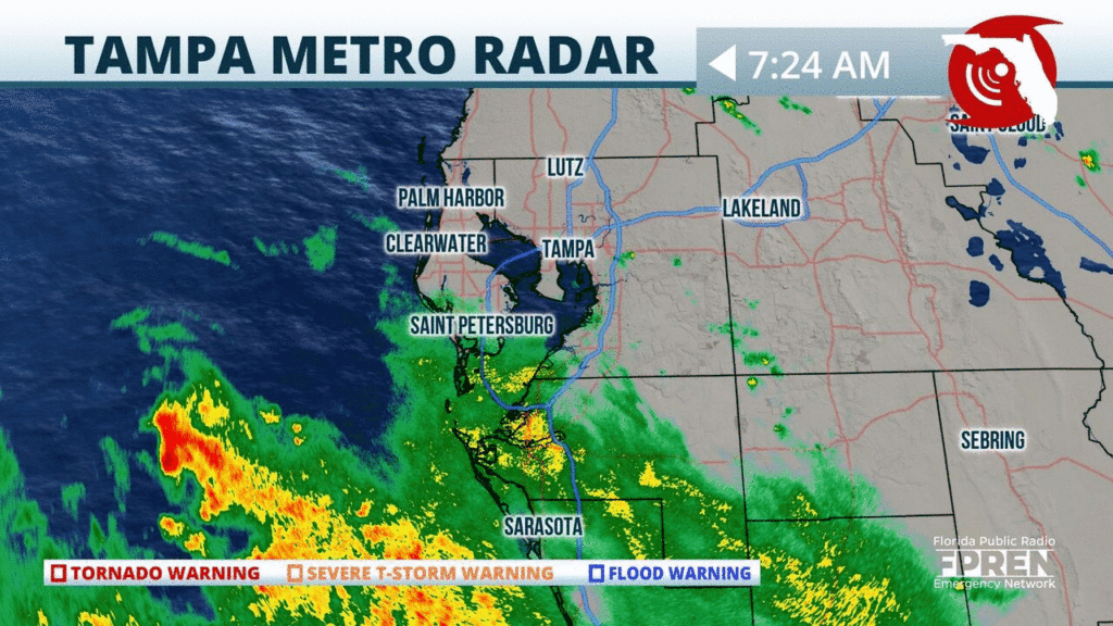
A strong t-storm in currently moving through the #Tampa area producing frequent lightning and heavy rainfall. Head indoors and let this storm pass. #flwx
📍WUSF | 🕒Now on Twitter | ❌Expires passively`
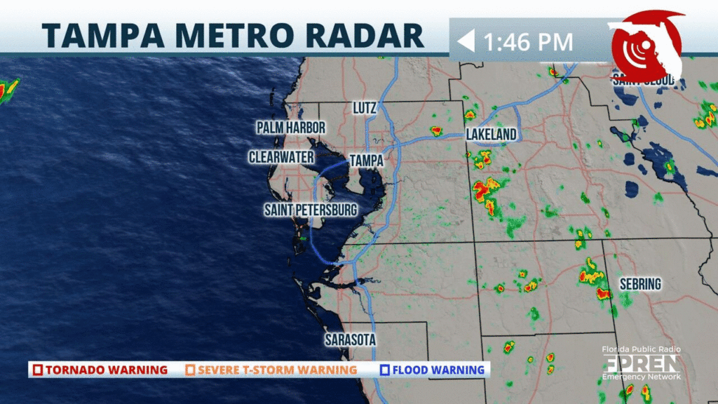
Showers and a few strong t-storms are approaching parts of #Tampa and #Lakeland. Take it slow, especially if you are on I-4. Heavy rainfall, frequent lightning, and gusty winds possible. #flwx
📍WUSF | 🕒Now on Twitter | ❌Expires passively`
Showers and t-storms are approaching quickly from the east towards #Tampa. A few lightning strikes with these storms but the main concern will be the heavy rainfall. Time to head indoors! #flwx
📍WUSF | 🕒Now on Twitter | ❌Expires passively`


