Saturday 11 pm EDT Update: Hurricane hunters have found the tropical depression east of #Florida has strengthened into Tropical Storm #Arthur. Forecast track shifted slightly east, farther off the coast of the Carolinas.
Original story Saturday afternoon: The first tropical depression of the year has formed just east of Florida, sixteen days prior to the official start of the Atlantic hurricane season.
Tropical Depression One is no threat to Florida, but it could track close enough to produce tropical storm conditions along the Outer Banks of North Carolina.
Tropical Depression One was located 125 miles east of Melbourne, Fla and had maximum winds of 35 mph, according to the first advisory issued by the National Hurricane Center at 5 pm EDT Saturday. The system was moving to the north-northeast at 13 mph and is expected to continue on that track through Sunday morning. Forecasters at the NHC expect the system to intensify into a tropical storm sometime Sunday, and when it does, it would acquire the name Arthur.
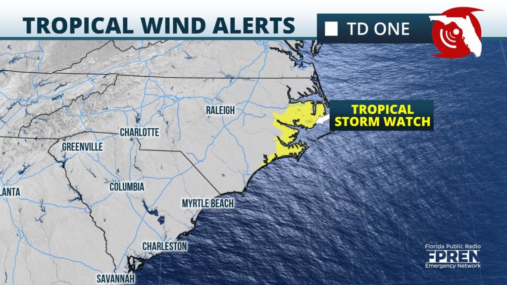
A Tropical Storm Watch was issued for coastal counties of North Carolina, where the storm may move close enough to produce winds greater than 39 mph and heavy rain. Significant wind or rain from this system is not expected across any other land areas, but high surf and dangerous rip currents are possible along all Atlantic Coast beaches from Florida to Virginia though midweek when the future tropical storm pull way.


