Monday was a busy day for forecasters at the National Hurricane Center. There were three systems of interest in the tropical Atlantic basin, but only one that is of particular interest to Floridians.
Chances of tropical development continued to increase in the southern Gulf of Mexico, where forecasters believe a tropical depression or storm may form by the end of the week.

Regardless of its tropical classification, the center of the system is more likely to move toward the coasts of Texas or Louisiana. However, indirect impacts such as heavy rain and high seas could affect sections of Florida's Gulf Coast this weekend.
Here is the latest tropical outlook from the National Hurricane Center...
Tropical Depression Two formed east of North Carolina Tuesday morning, then later that evening strengthened into Tropical Storm Bill.
Tropical Storm Bill is not a threat to the United States and is likely to dissipate by Thursday or Friday as it races across the cooler waters of the North Atlantic.
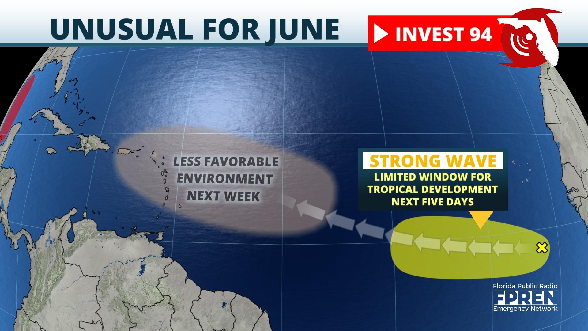
The third system of interest is in an area not typical for June tropical cyclone formation.

A strong tropical wave has emerged off the west coast of Africa and a limited window of opportunity for development in the next few days as it moves across the central Atlantic Ocean. Thereafter, conditions are expected to be less favorable for continued strengthening as it moves closer to the Lesser Antilles next week.
