Dry air at in the upper levels of the atmosphere reduced the number of showers and thunderstorms over much of the state Sunday, but an increase in late afternoon thunderstorms Monday is a precursor to an active pattern starting Tuesday and Wednesday afternoons.
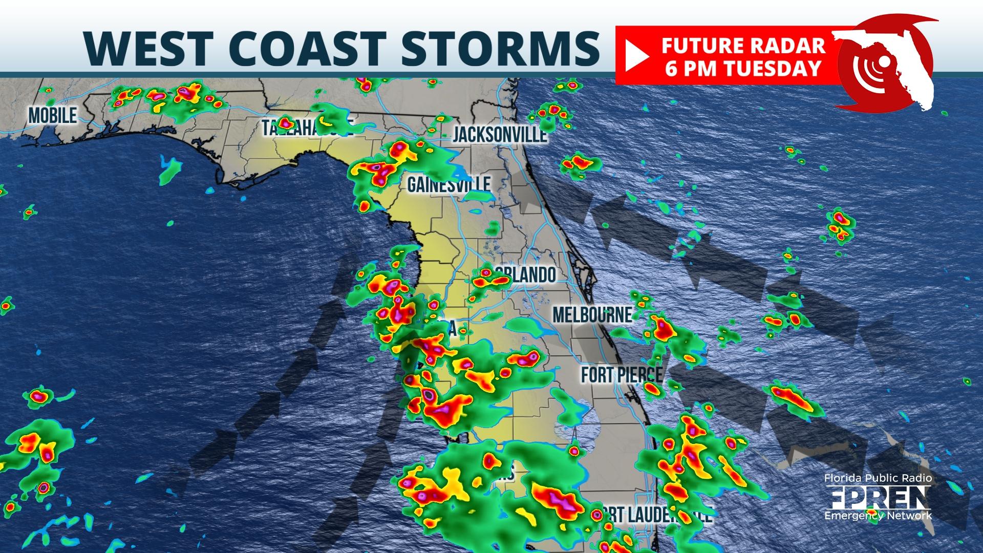
Southeast winds will transport deep moisture northward across the peninsula. The easterly component of the winds causes the Atlantic coast sea breeze to penetrate inland across the state faster. Eventually, storms generated from the Atlantic sea breeze meet up, or converge, with a weaker sea breeze that is pinned closer to the west coast of the peninsula. The end result is a high concentration of showers and strong thunderstorms from Fort Myers and Naples northward to Sarasota, and the Tampa/St. Pete metropolitan areas.
There are also signals the Nature Coast and Florida’s Big Bend will see strong late afternoon thunderstorms Tuesday and Wednesday afternoons, moving from east to west.
The highest risk of the strongest storms is between 3 PM and 10 PM both days, but the storms could start a bit sooner in the Fort Myers and Naples areas.A small shift in the deep-layer wind pattern may cause the storms to drift inland Wednesday evening from Polk county northward toward The Villages, Ocala, and Gainesville. These areas may see the storms last longer than usual into the evening hours.
The primary hazards are flash flooding and excessive ground-to-ground lightning. The high moisture content in the air may cause a few of the thunderstorm downdrafts to become water-loaded, resulting in localized damaging winds from microbursts.
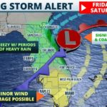
Winds will become more southerly on Thursday, causing the strongest thunderstorms to set up over the interior of the Florida Peninsula. An approaching cold front will turn the winds to the southwest on Friday, which favors the strongest afternoon and evening thunderstorms from the interior of the peninsula to the Atlantic coastline. The front may be close enough to the western Florida Panhandle where it may directly generate an increase in thunderstorms late Friday into the upcoming holiday weekend.